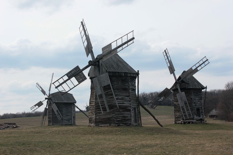
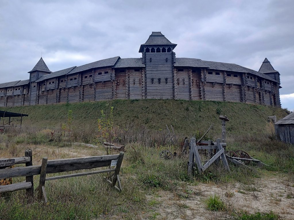
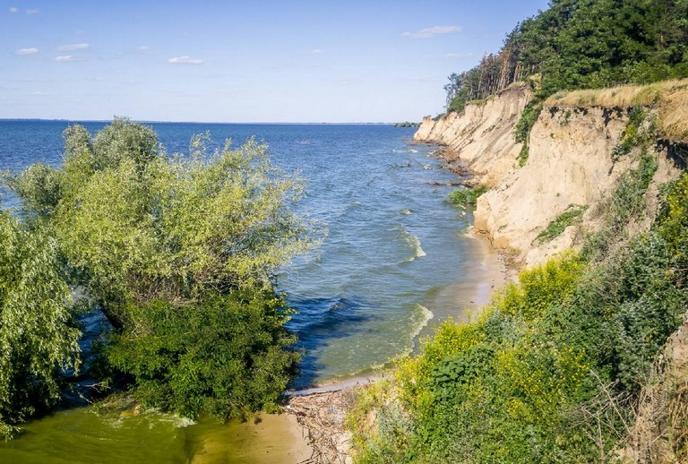
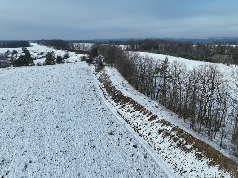
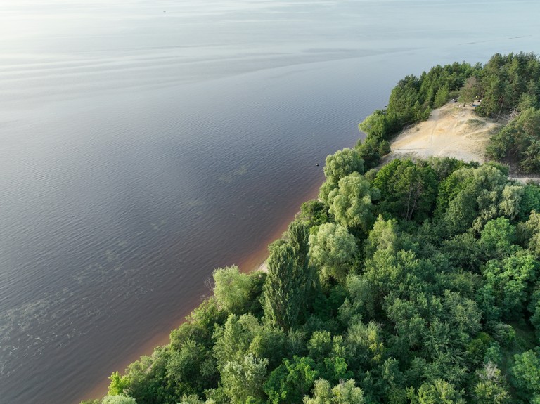
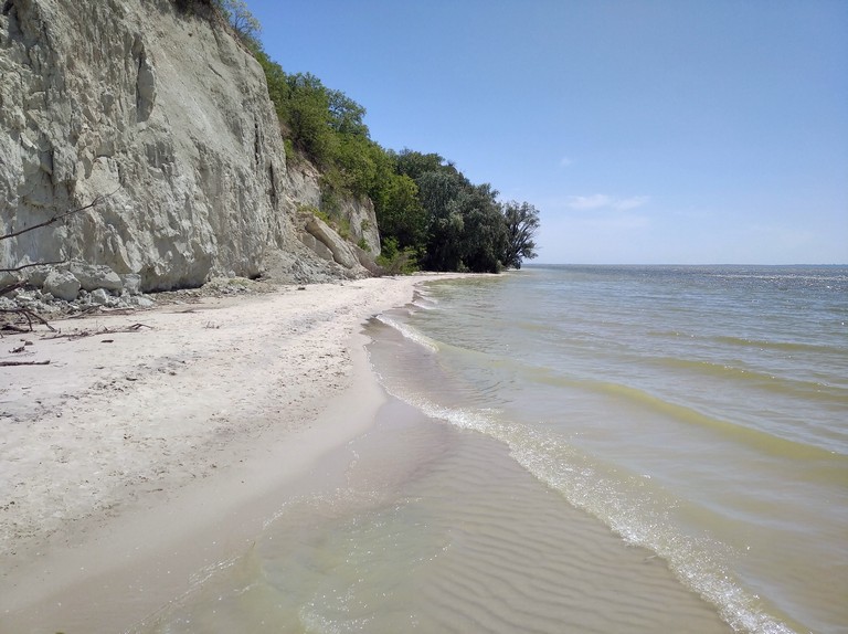
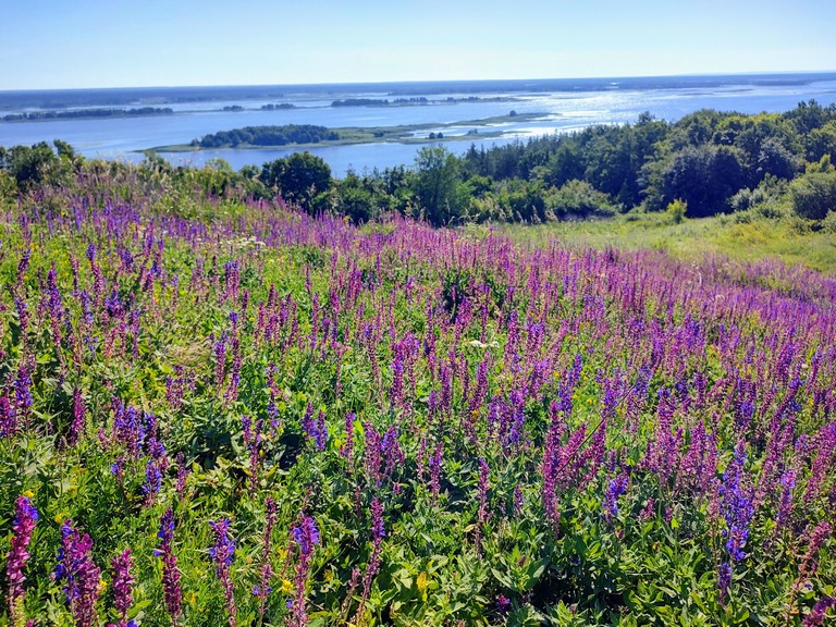
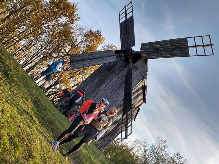
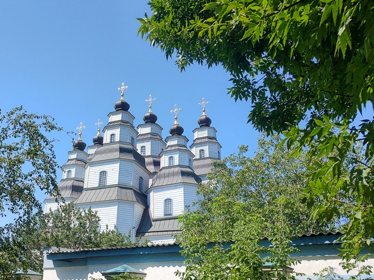
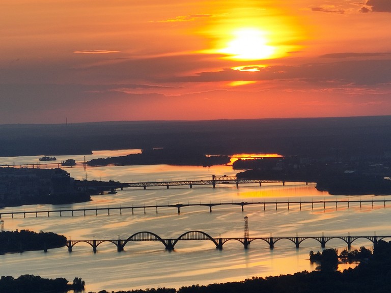
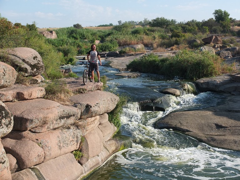
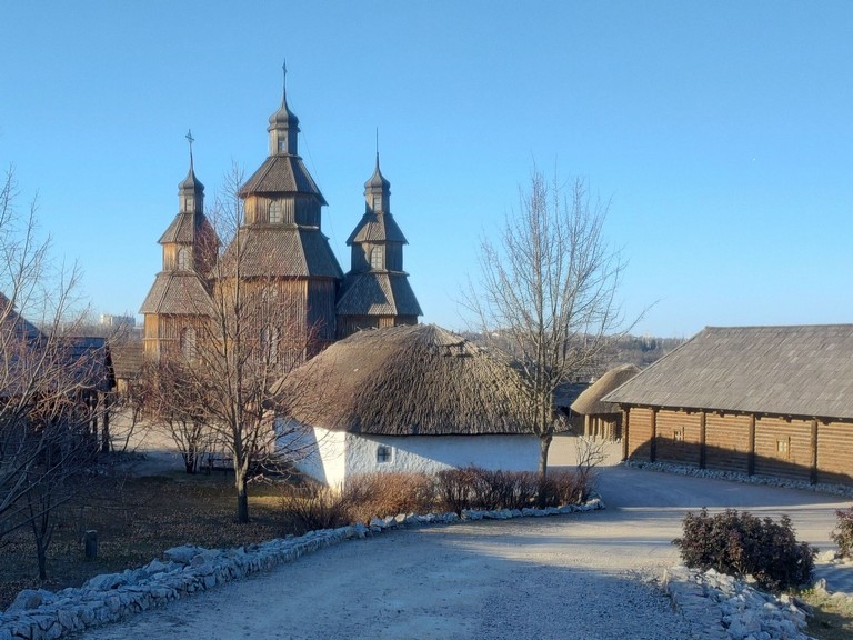
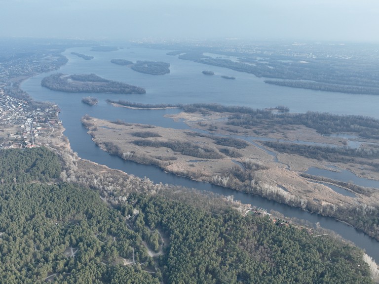
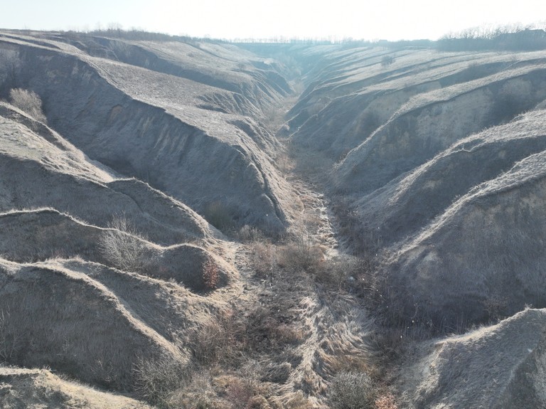
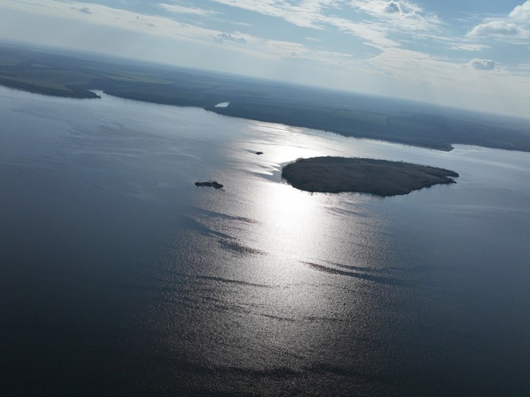
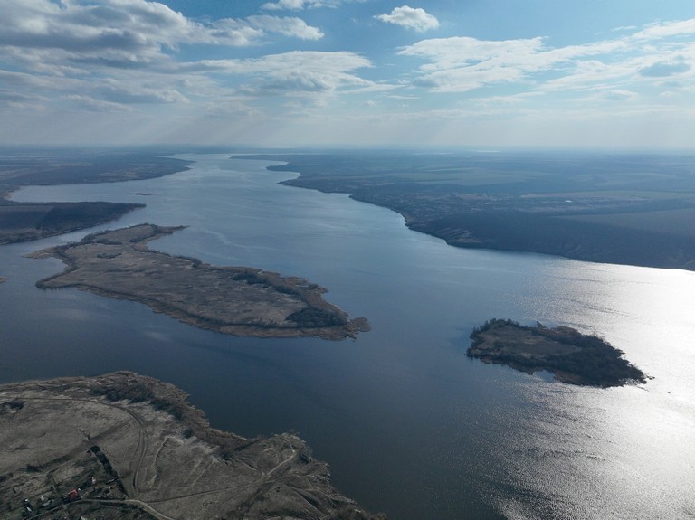
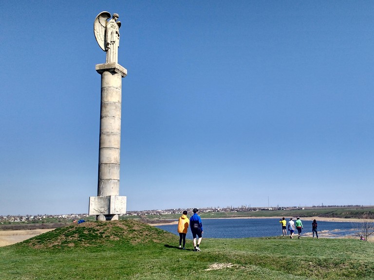
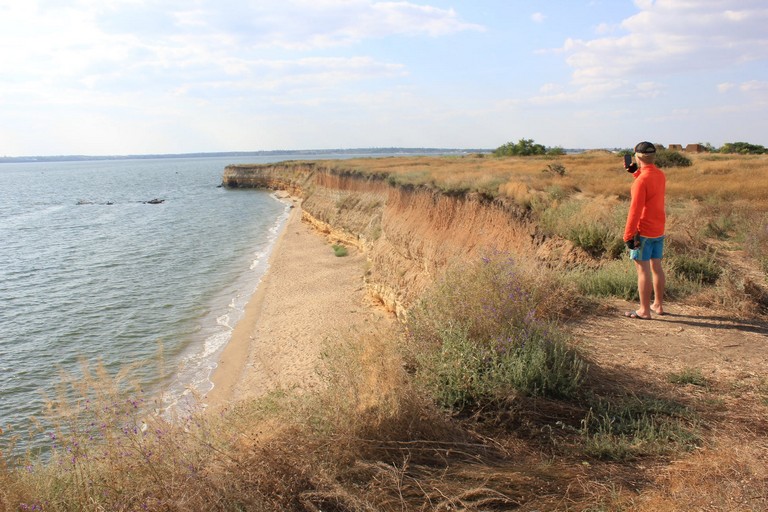
The aim of the Dnipro Hills tourist trail project is to become part of the EuroVelo European network, by marking and developing the route according to European standards. One of the best-known cycling routes is the Danube trail—let’s create one along the Dnieper!
Touring Route Along the Dnipro: A 1,850 km Journey Through the Picturesque Dnipro Hills
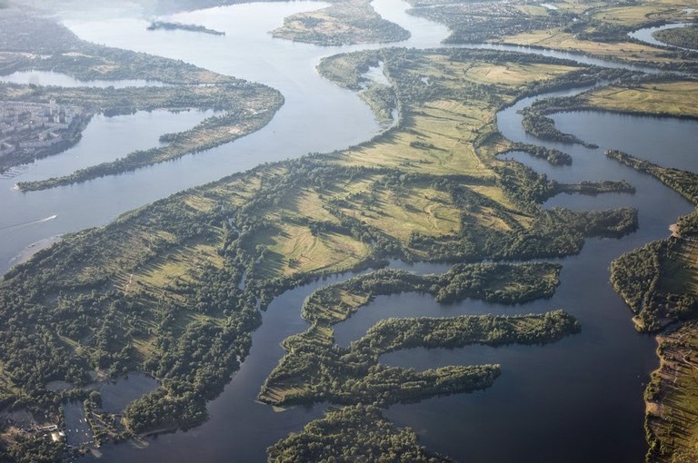
This scenic route stretches 1,850 kilometers from Polissia in northern Kyiv region to Ochakiv and the Kinburn Spit.
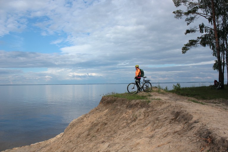
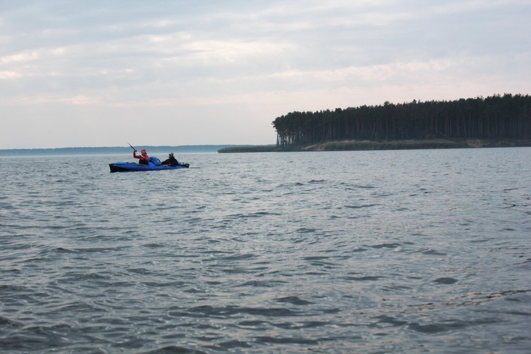
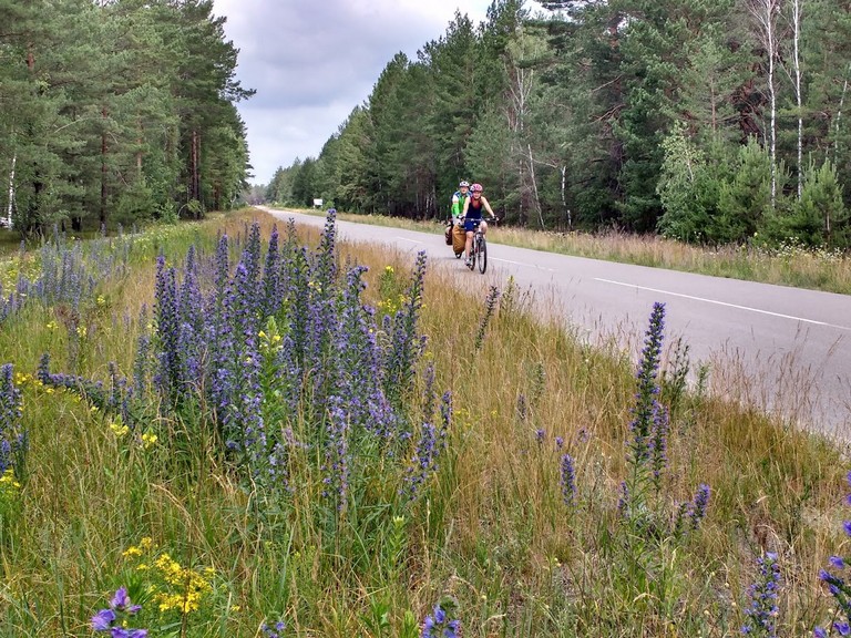
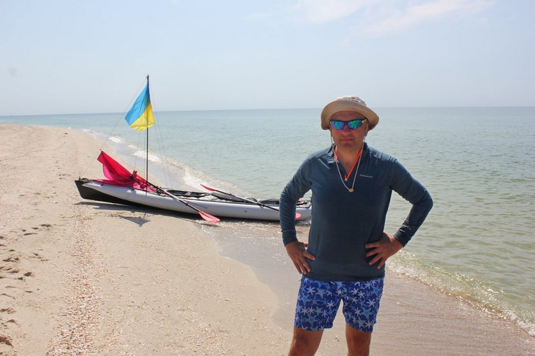
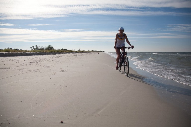
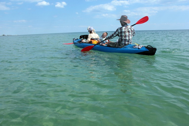
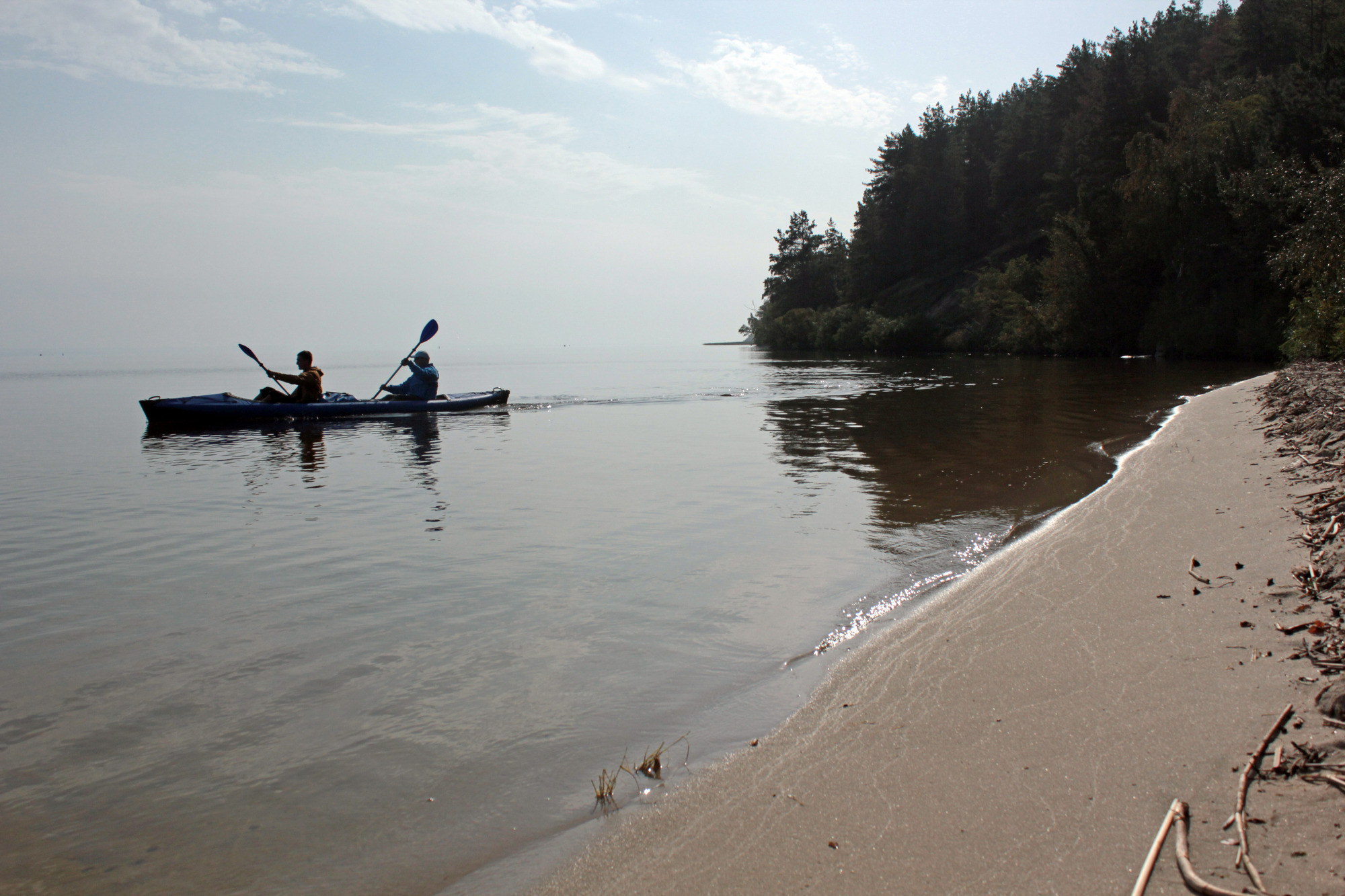
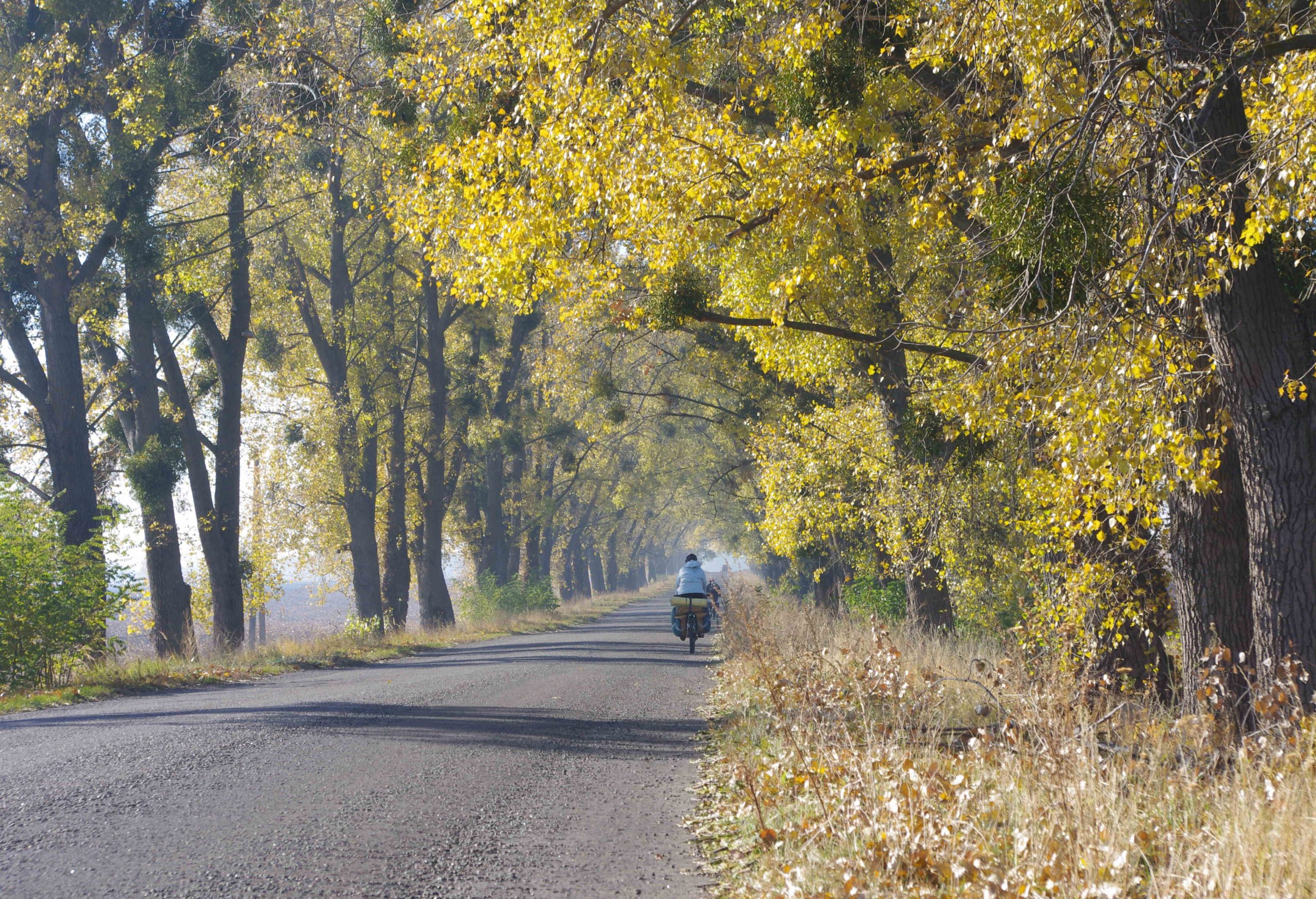
Primarily designed for cycling, the path follows mostly dirt roads, though at times, a kayak may be the best way to navigate sections of the Dnipro River. Every 15-20 kilometers, travelers will find guesthouses where they can rest, have a coffee, or enjoy a pastry.
The route can also be considered a gastro-tour, as it connects local cheesemakers, wineries, apiaries, taverns, and other culinary gems.
Along the way, adventurers can rent a bike or a kayak, go paragliding, and participate in numerous other organized activities.
Starting Point: Kyiv Polissia
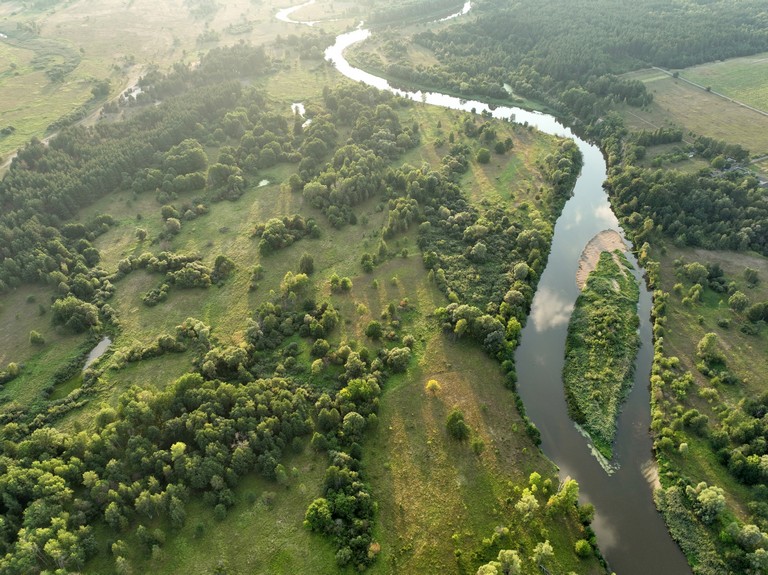
The journey begins at the confluence of the Teterev River and the Dnipro, where dense forests, rivers, wildlife, and mushrooms create a pristine natural setting.
The main trail follows the natural Dnipro Hills, preserving the unique forest-steppe landscapes from Vyshhorod through Kyiv, Trypillia, and Rzhyshchiv, circling the Trakhtemyriv Peninsula. These lands bear the names of ancient archaeological cultures, including the Trypillia culture (from the villages of Khalepe and Trypillia), the Zarubyntsi culture (Zarubyntsi village), and the Chernyakhiv culture (Chernyakhiv village). The route also occasionally runs alongside the still-impressive Zmiiv Ramparts and Scythian fortifications in Khodosivka, Trakhtemyriv, and Motronynske.
Through the Heart of History
Beyond Kaniv, the path seems to diverge from the Dnipro, but in reality, it follows the river’s old channel—now the Irdyn Swamp and the Tiasmyn River.
Next comes Kholodnyi Yar, with Buda hamlet and Semydubova Hill—lands teeming with history since prehistoric times. The mighty Motronynske Scythian Fortress, dating back 2,700 years, later became the headquarters of the Kholodny Yar Republic, a Cossack-led resistance movement that united 25 surrounding villages and formed a 15,000-strong army, fighting Soviet occupation for five years. Before visiting, reading the memoirs of Yuriy Horlis-Horskyi is highly recommended.
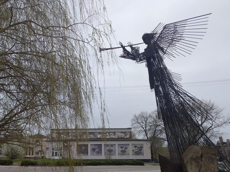
After passing the Chyhyryn Fortress, the route rejoins the Dnipro’s banks. Here, travelers will encounter Orbita, an abandoned city built for a nuclear power plant that was never completed, as well as Kryliv, a town now submerged under a reservoir, with only a lone hill remaining as its ghostly reminder. The first stage of the route concludes in Svitlovodsk, Kremenchuk, and on the summit of Pyvykha Hill.
Towards the Black Sea
The journey continues through the Oril Reserve, Porohy, and Zaporizhzhia, eventually reaching Mykolaiv and Olbia, before ending at the Kinburn Spit, where the Dnipro meets the Black Sea.
Eco-Mining Cryptocurrency With Your Own Feet!
For every 500 km completed, participants earn 500 DNPR tokens (or an equivalent) to their crypto wallet.
The DNPR token can be used to pay for accommodation at select hotels, buy coffee along the route, or purchase souvenirs and goods from partner businesses.
Once the trail is fully marked and developed, the DNPR token will be launched on cryptocurrency exchanges.

Civilization Along the Route
Every 15-20 km, you’ll find a cozy guesthouse, hotel, or glamping site along the route. The entire path is available on our online map, and you can download the track to your phone for offline navigation using apps like Osmand.
Most villages have a grocery store, though some operate out of private homes or require calling the shopkeeper, who may live nearby.
Mobile signal and internet are available almost everywhere or at least on the nearest hill.
Public restrooms of a more “civilized” kind can be found at hotels, campsites, and gas stations. However, in most villages, expect the traditional wooden outhouse with a hole in the floor—be prepared!
Navigation
You can download the route track, including points of interest, cafés, hotels, and other useful information.
Future plans include officially marking the trail and setting up necessary infrastructure once the final route is approved.
Grandfather Dnipro
The inhabitants of what is now Ukraine 2-3 thousand years ago called themselves Skolots, the Children of Skil.
Skil Targitai was the son of Papai, the god of thunder, and Api, the daughter of Borysphen, the god of rivers.
Herodotus, the father of history and a contemporary of the Scythians, describes their cosmological beliefs as follows:
A Serpent stole the waters of the Dnipro-Borysphen, trapping them behind mountains. Papai, the Thunder God, carved a new path for the river, freeing Api, Borysphen’s daughter. They married, and their son, Skil Targitai, became the First Man. After a series of heroic deeds, Skil Targitai wed Tabiti, the Sun’s daughter.
Their three sons—Arpoxais (King-River), Lipoxais (King-Mountain), and Kolaxais (King-Sun)—received divine gifts from the sky:
-
The Golden Plow,
-
The Cup,
-
The Axe,
-
And the Yoke.
No original Scythian texts have been found; they used the Greek alphabet on their coins. However, in Ukrainian folk tales passed down from pre-literate times, this story echoes in the legend of Kotyhoroshko, where Papai or Skil takes the hero’s role, and the Serpent remains unchanged.
The Scythian civilization flourished alongside Greek city-colonies, particularly Olbia, which Herodotus called a Scythian marketplace. Many Greek myths are set in the Northern Black Sea region, and some Olbian coins depict Borysphen, the Scythian river god.
Thus, ancient people literally saw themselves as the grandchildren of the Dnipro. Even today, this is reflected in Ukraine’s national anthem:
“The Black Sea will smile again, Grandfather Dnipro will rejoice.”
But the Serpent has returned—Dnipro is now chained by six dams. Of its 1,000 km Ukrainian flow, only 100 km remain free.
It’s time to decommunize Borysphen!
Map of the Way
Points of interest
Київське море
Hilcha Island
Dnipro-Teteriv National Park
Obolonskyi Island
Trukhaniv Island
Kyivan Rus Park
Serpent shafts
Trakhtemyriv Peninsula
Pyvyha Mount
Ivkivtsi & Zernoland
Tokiv Waterfalls
Khortytsia
Kodak Fortess
Vorona i Makharthet
Tiahyn Fortress
Dzharylhach
Berezan island
Public Organization
This is a union of enthusiasts committed to creating a tourist route, primarily a cycling trail, along the Dnipro Cliffs.
The organization brings together:
-
Guesthouse and campsite owners,
-
Tourism service providers,
-
Travel organizers,
-
Cyclists,
-
And nature lovers who enjoy outdoor adventures.
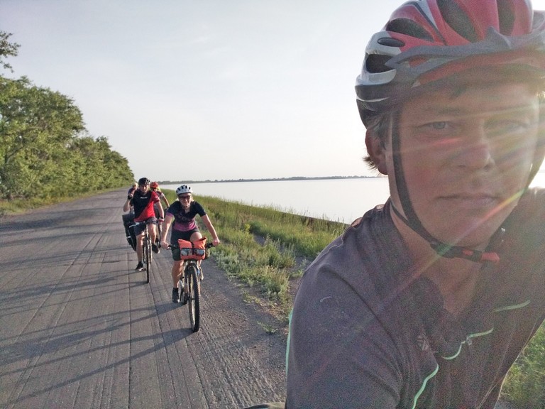
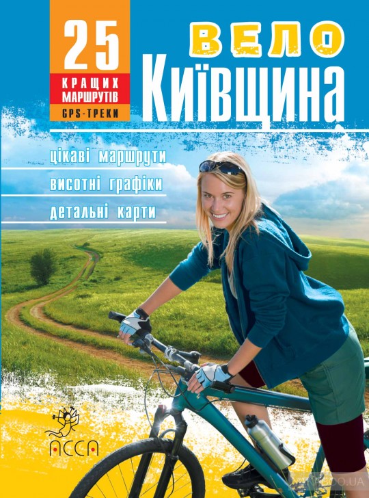
My name is Andriy Yakovenko. For the past 15 years, I have organized cycling tours, kayak trips, and hiking excursions. I wrote a guidebook on cycling routes in the Kyiv region. That’s when the idea came to connect the routes along the right bank of the Dnipro, through the picturesque hilly terrain of the Dnipro Hills.
To follow the progress and development of the project, follow us on our social media: https://www.facebook.com/dniprohills
We invite all interested parties to cooperate! If you are interested in collaborating, feel free to reach out via messenger or email: dniprohills.info(at)gmail.com
How is it best to travel?
The optimal way to explore this route is by bike, with the option to travel on either dirt roads and trails, or bike paths and low-traffic local roads. Part of the route can be done by kayak, or you can explore the interesting shores along the way from the water. Some sections of the route are also perfect for hiking.
The goal of the Dnipro Cliffs tourist route project is to become part of the European EuroVelo network, to mark the route according to European standards, and to promote inbound and domestic tourism.
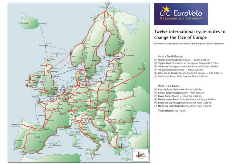
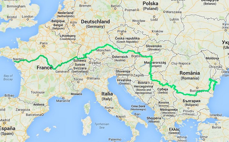
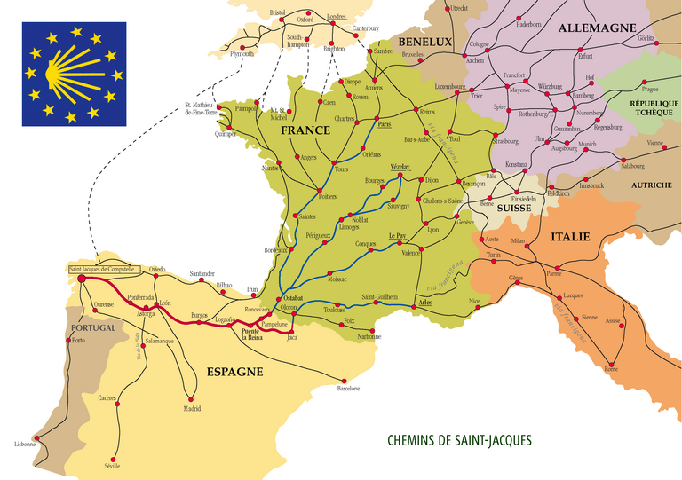
All of Europe is covered by a network of tourist routes, ranging from local paths to large ones, stretching for thousands of kilometers, passing through various countries, much like the “Camino de Santiago” network.
Token DNPR
The DNPR token was developed to assess participation and motivate people who are ready to contribute energy to the project of creating a marked route along the Dnipro River. It is also used for voting, where 1 DNPR token equals 1 vote, allowing each participant to influence important decisions. This enables the engagement of a wide community in the implementation process, encouraging collaboration and active participation in the creation of the route. The DNPR token is created within the Stellar ecosystem.
Whitelist for DNPR Token
The DNPR token is the native token of the “Dnipro Cliffs” cycling tourist route, designed to support and develop the route along the Dnipro River. The token’s emission is 2 billion DNPR, corresponding to the length of the route in millimeters. Further emission is blocked.
Emission Distribution:
-
60% (1.2 billion DNPR): For participants of the “Dnipro Cliffs” route, who will receive 500 DNPR for every 500 km of the route completed.
-
12% (240 million DNPR): For the project team responsible for organizing and supporting the route. Care for 1 km of the route – 100,000 DNPR.
-
8% (160 million DNPR): For the project author.
-
10% (200 million DNPR): For environmental and restoration initiatives related to the Dnipro and its shores. These tokens can be used to fund activities such as preparing documentation for conservation areas, restoring natural states, cleaning the route, setting up eco-friendly waste bins, sorting waste, and other environmental initiatives.
-
8% (160 million DNPR): For marketing, partnerships, and route development, including informational support and route infrastructure.
-
2% (40 million DNPR): For informational partners who spread information about the route and help attract new participants.
Project “DniproHills”:
The tourist route along the Dnipro River through the picturesque Dnipro Hills spans 1850 km from Polissia through Kyiv Region, Trakhtemyriv, Cold Yar, the Porohy and Zaporizhzhia, Khortytsia to Olvia, Ochakiv, and Kinburn Spit. The route is designed for walking, cycling, or kayaking, and primarily follows dirt roads. Every 15-20 km along the route, there are homesteads where travelers can spend the night or enjoy coffee and pastries, or local wine and cheese.
The marking and development of the route aim to promote local tourism, communities, a healthy lifestyle, travel, active recreation, and local history.
The route connects local dairies, wineries, apiaries, delicatessens, and other delicious spots. There is also the opportunity to rent a bike, kayak, fly a paraglider, and enjoy other organized activities.
Whitelist Participation:
Anyone interested in developing the route, with a tourism or hospitality business, can join the project. To do so, submit an application via the official project website or via email: dniprohills.info(песик)gmail.com
Benefits for Participants:
-
Route Marking and Infrastructure: Participants who take responsibility for marking and developing a segment of the route will receive 100,000 DNPR for each kilometer they manage.
-
Rewards for Tourists: By completing every 500 km of the route, tourists will receive 500 DNPR.
-
Token Exchangeability: DNPR has exchangeability within the partner network. For example, 500 DNPR can be used for one night at a guesthouse on the route or for other services offered by partners.
-
Information Partners: Stores, hotels, and other businesses along the route that agree to display information about the route (maps, brochures, a stamp location) will receive 50,000 DNPR.
NFT Tokens:
Commemorative coins in the form of NFT tokens are issued to reward tourists and are sold as souvenirs. The total amount of issued commemorative coins cannot exceed the emission of the DNPR token. Each coin has a serial number, which is reflected in the digital copy (NFT) through blockchain technology.
Exchange Listing:
After the marking and development of the route, the token will be listed on one of the exchanges to ensure liquidity and accessibility for a broad user base.
How to Join:
To join the project and receive more detailed information, please visit the official project website https://dniprohills.info/ or contact us via email at dniprohills.info(песик)gmail.com
We invite everyone interested to join the development of the “Dnipro Hills” cycling tourist route!


