Dnipro-Teteriv National Park

дороги національного парку

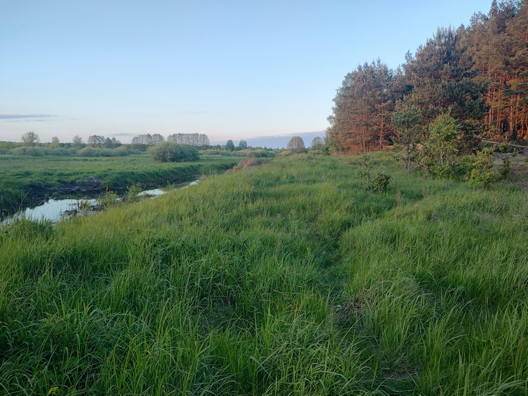
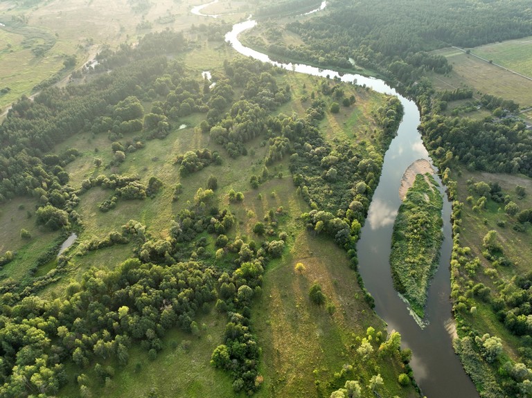
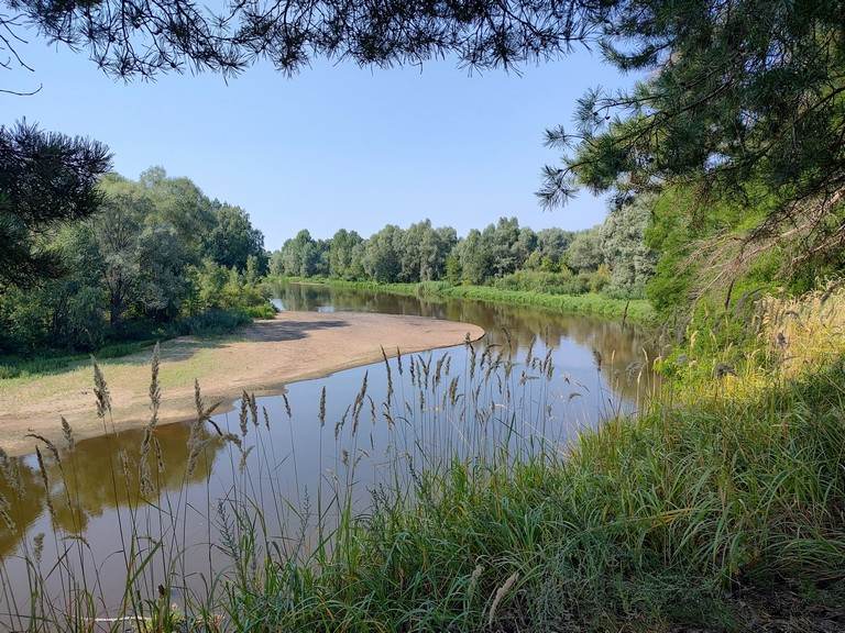
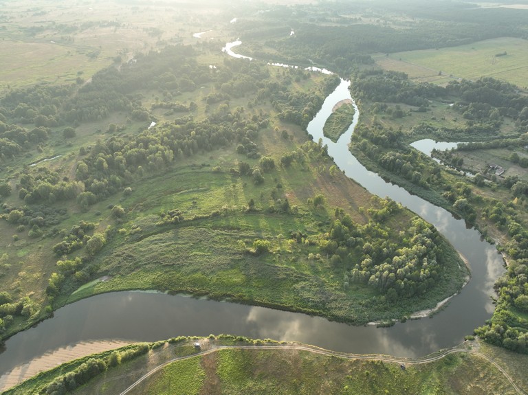
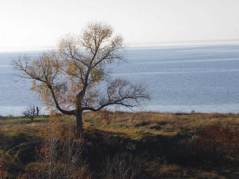
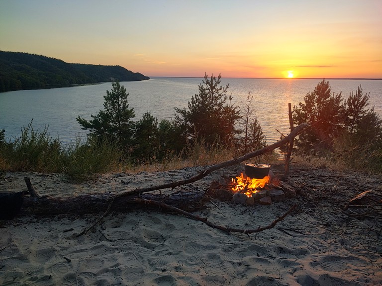
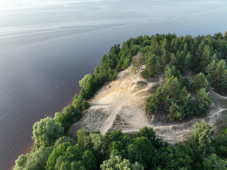
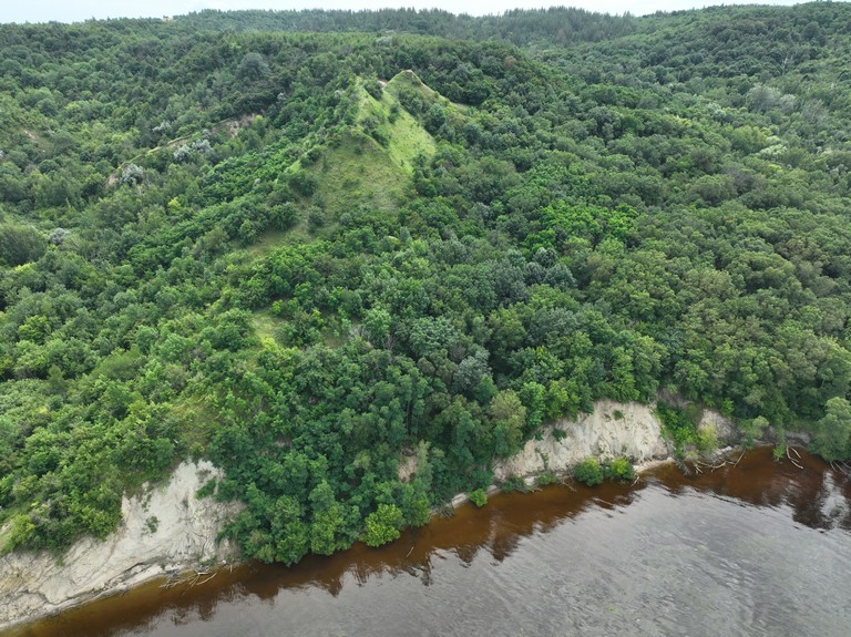
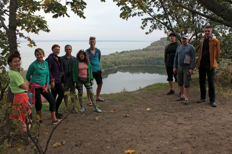
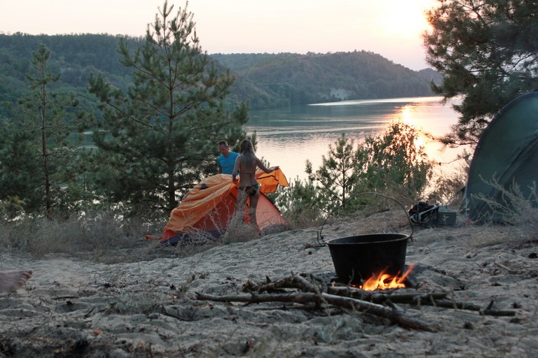
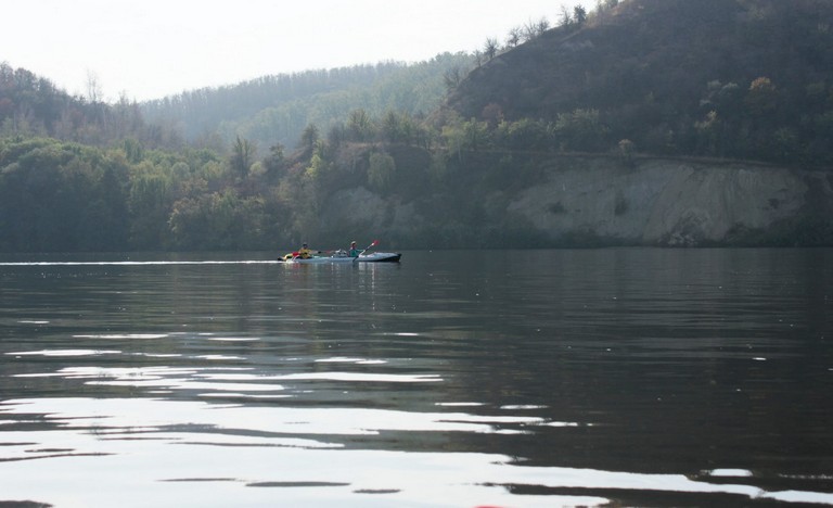
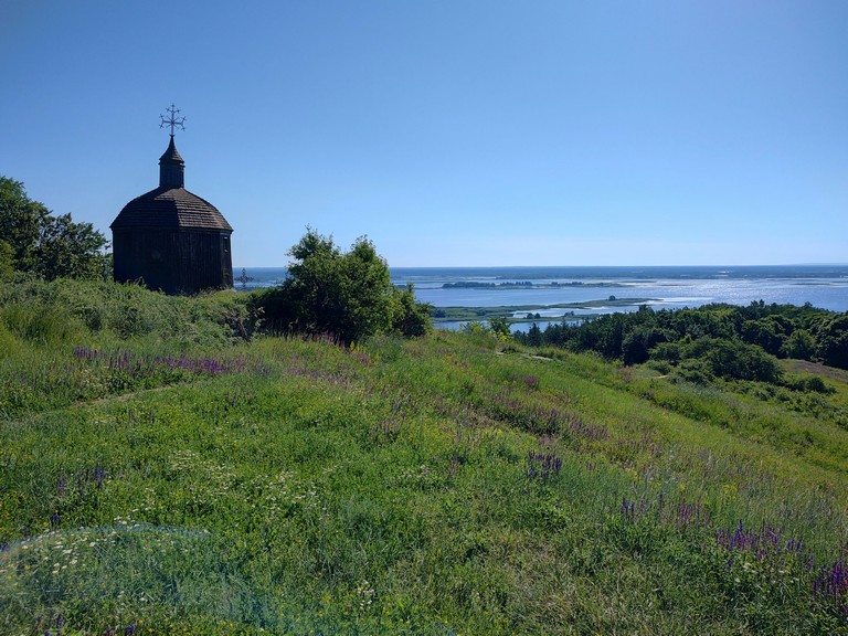
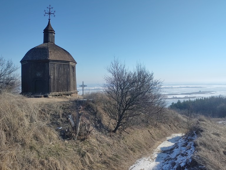
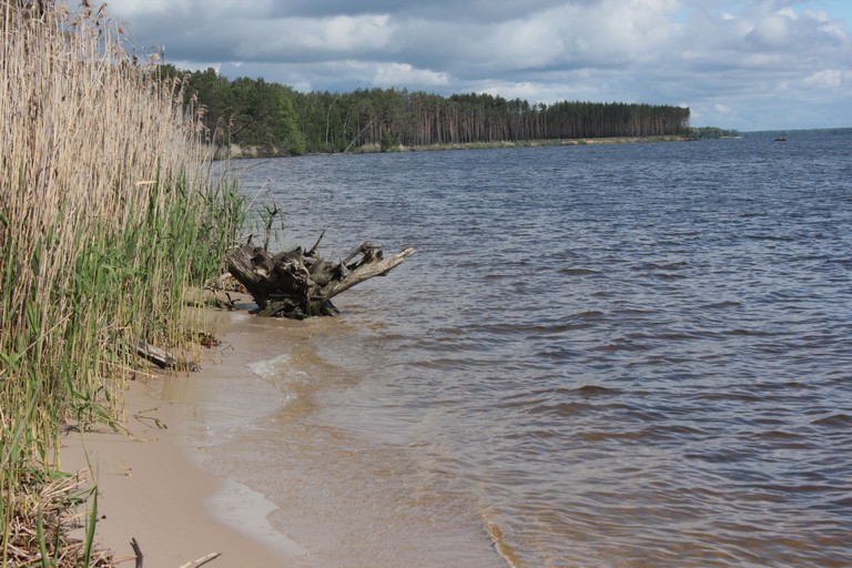
Geography and Natural Conditions

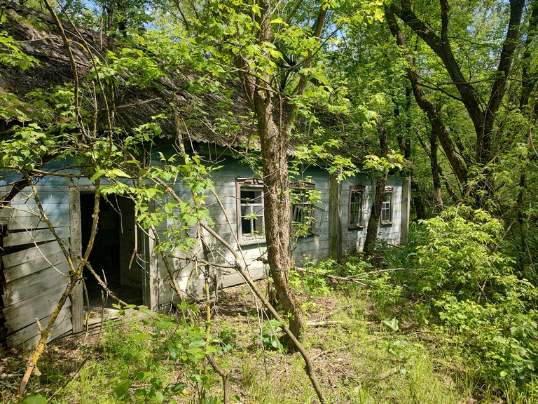
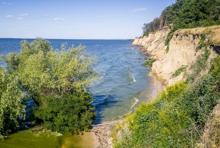
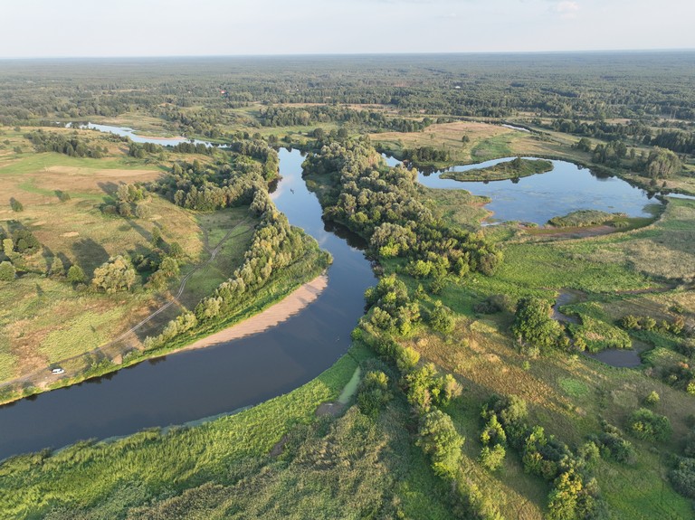
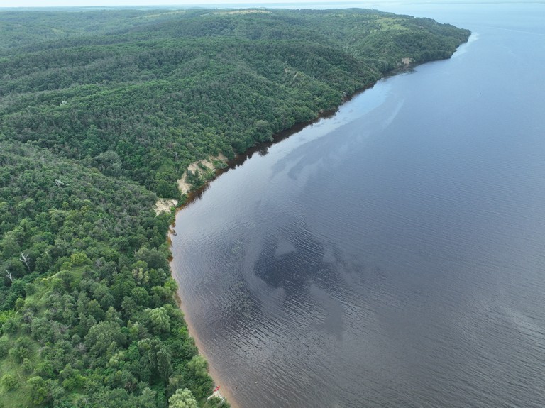
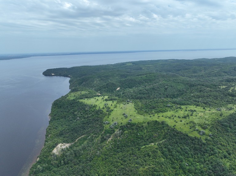
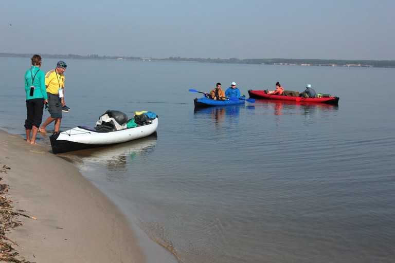
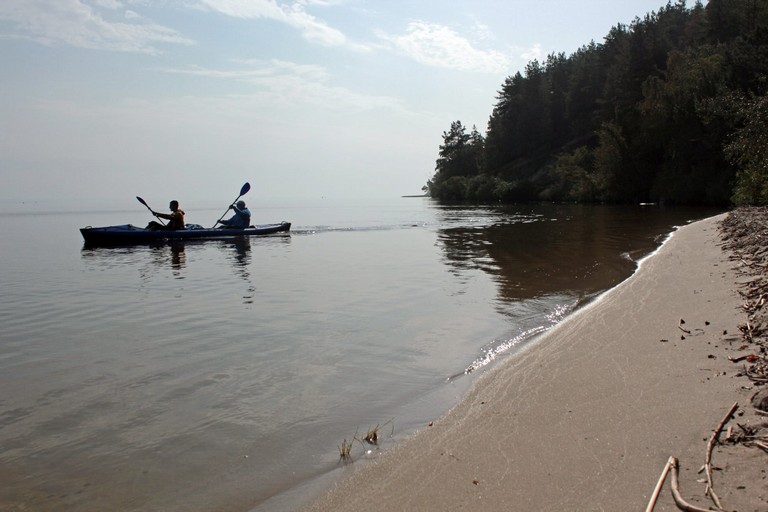
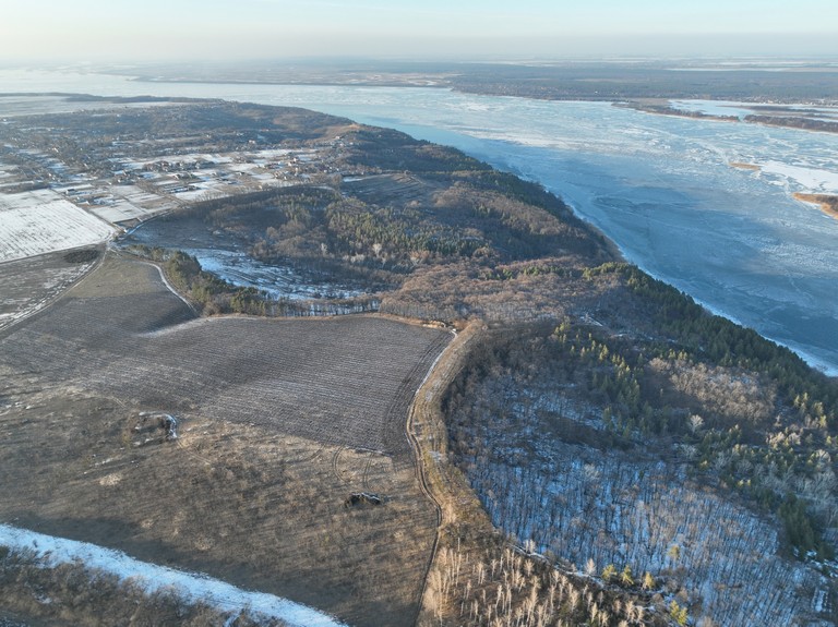
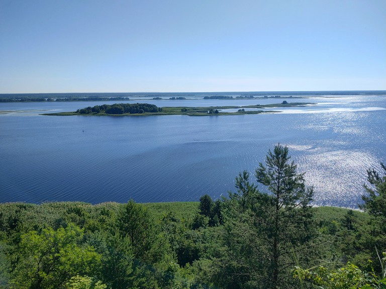
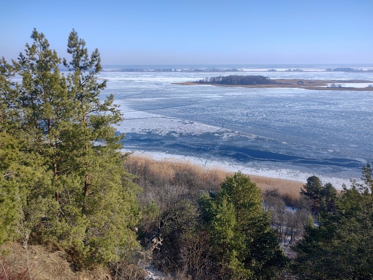
The Dnipro-Teteriv National Park is located in the north of Kyiv region, between the Dnipro and Teteriv rivers. It is a vast area with a predominantly forested landscape, where pine and mixed forests dominate. In addition to the Teteriv, several smaller rivers, such as Zdvizh and Zhydok, flow through the park, along with numerous swampy areas. The combination of water bodies and forests creates favorable conditions for many animal species.

Овдієва Нива
Овдієва Нива

Natural Diversity

The Dnipro-Teteriv National Park boasts rich biodiversity due to the combination of forests, swamps, rivers, and floodplains. Numerous species of animals, birds, and fish inhabit this area, including both common representatives of Ukrainian fauna and rare species listed in the Red Book of Ukraine.

Київське море - східний кордон нацпарку
Київське море – східний кордон нацпарку

Flora

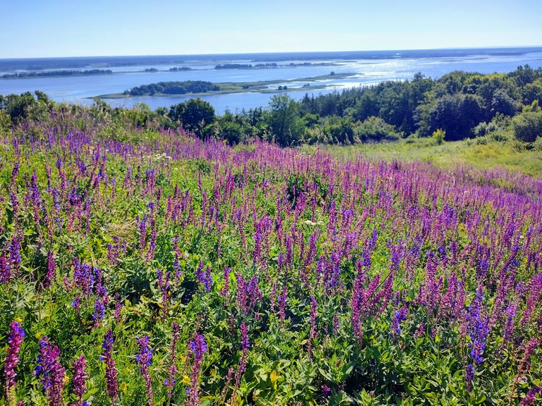
The majority of the park’s territory is covered by pine forests, interspersed with mixed and deciduous areas where oak, hornbeam, birch, and aspen grow. In swampy regions, alder and willow are common, along with reed and sedge communities. Meadows and clearings are rich in various grasses, including medicinal plants such as St. John’s wort, chamomile, and valerian.

сон-трава(Pulsatilla patens)
фіалка польова (Viola arvensis)
конвалія звичайна (Convallaria majalis)

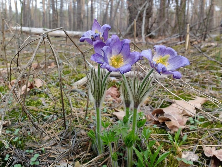
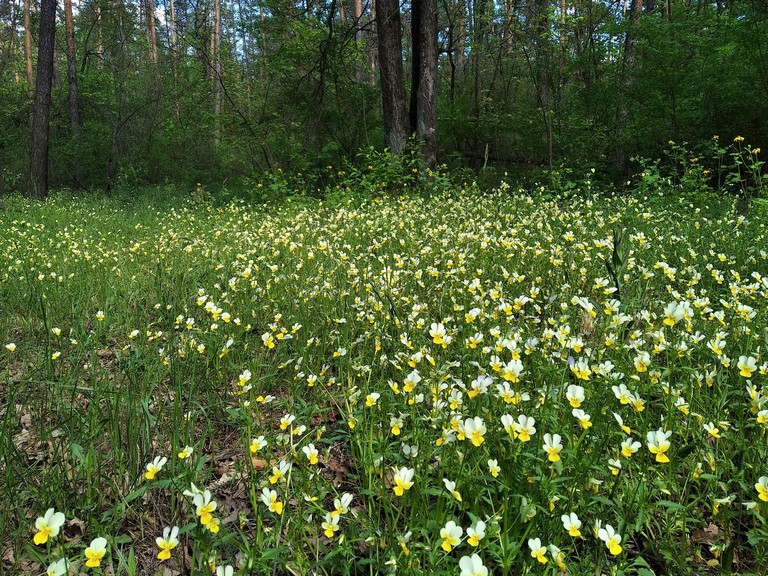
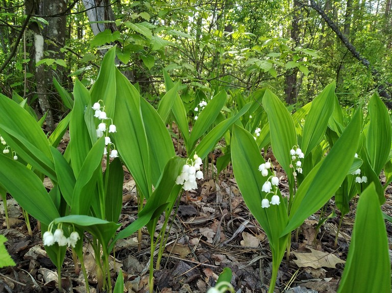
Among the rare and protected plant species found here are the forest lily, lady’s slipper, club moss, and some species of orchids.

Animals

The park’s forested areas are home to large mammals. The most common among them are the moose, roe deer, wild boar, and red deer. Wolves, foxes, badgers, and martens can also be encountered.

олень благородний (Cervus elaphus)

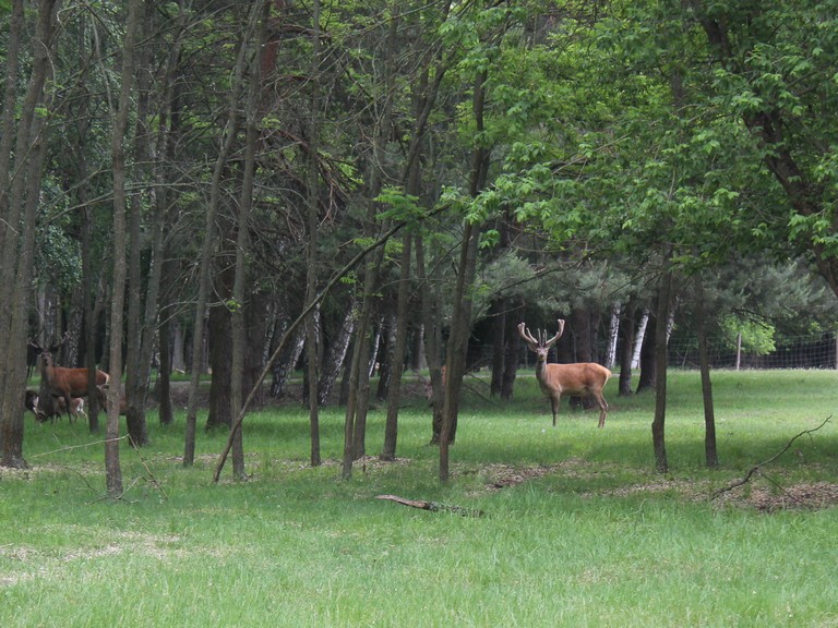
Among the rare and protected mammal species living here are the European lynx, Eurasian otter, badger, and the giant noctule bat (a rare bat species).

Birds

The rich birdlife includes both resident and migratory species. Visitors can spot jays, woodpeckers, hooded crows, magpies, common buzzards, hawks, and golden eagles.

Among the protected bird species found here are the black stork, white-tailed eagle, Eurasian eagle-owl, short-toed snake eagle, and greater spotted eagle. Wetlands and floodplains serve as crucial nesting and resting sites for migratory waterfowl.

Fish

The park’s rivers and floodplains are home to numerous fish species, with the most common being pike, perch, catfish, bream, tench, and crucian carp. Thanks to the clean waters, zander and European eel can also be found here.

Among the rare and protected species is the European sterlet, once abundant but now seldom seen.

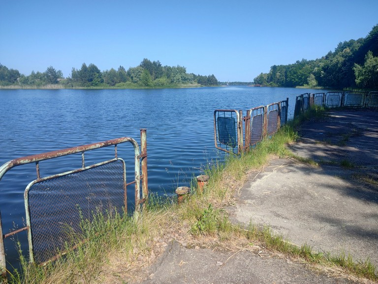
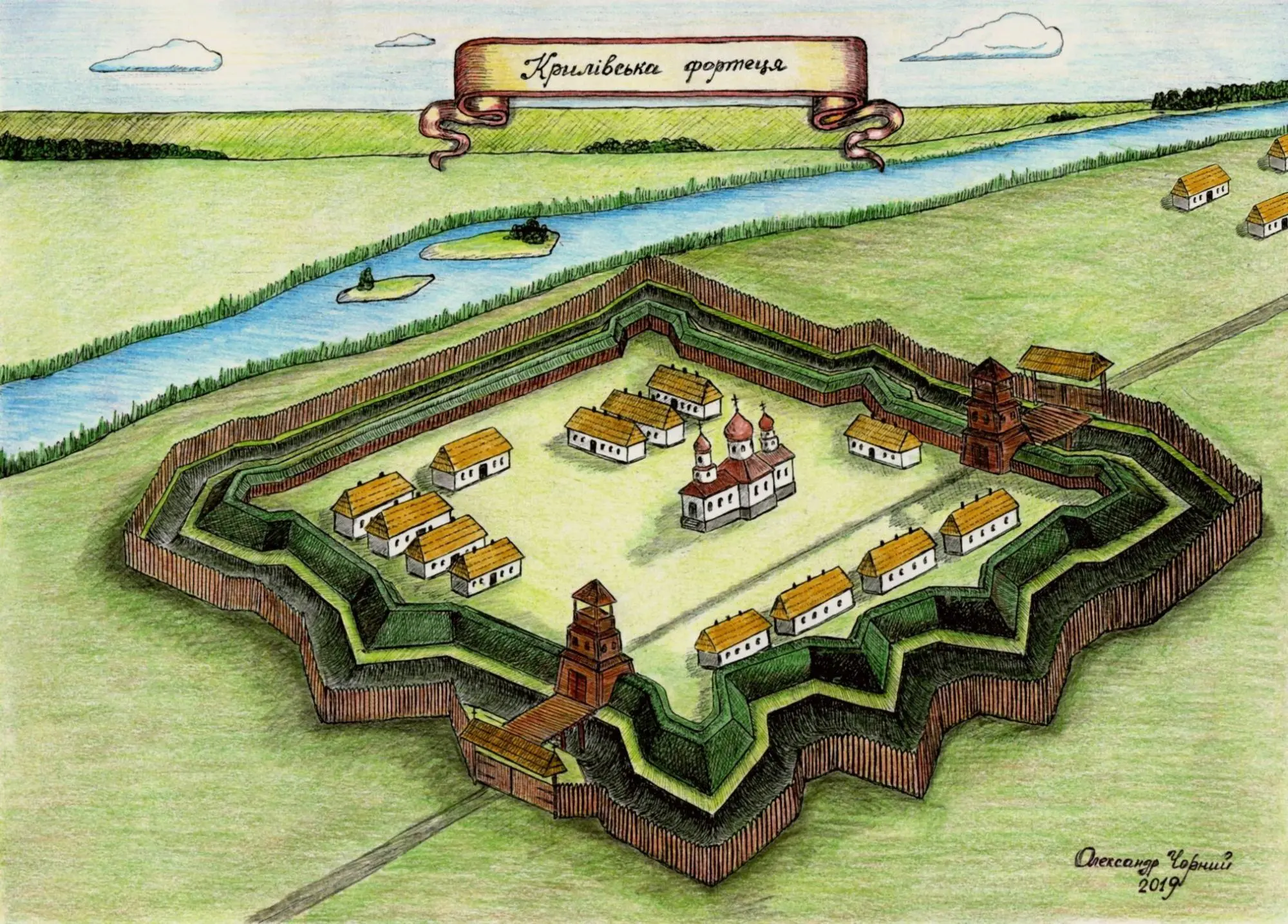
Yanukovych’s Hunting Grounds

Until 2014, a large part of this area was a private hunting reserve known as Sukholuchchya, where dictator Viktor Yanukovych and his close associates hunted. The site featured luxurious hunting lodges, game enclosures, and specially built roads. After Yanukovych fled, the territory was reclaimed by the state and later designated as a national park.
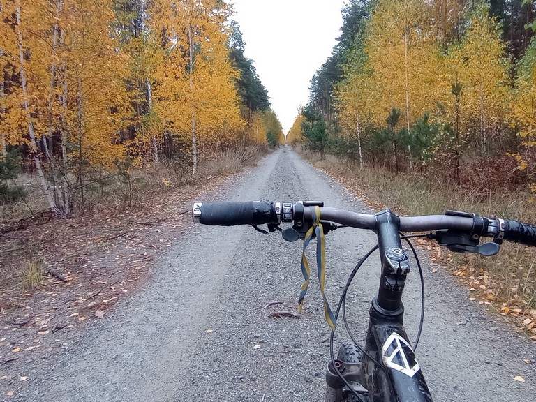
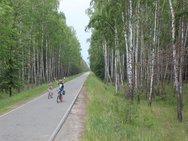
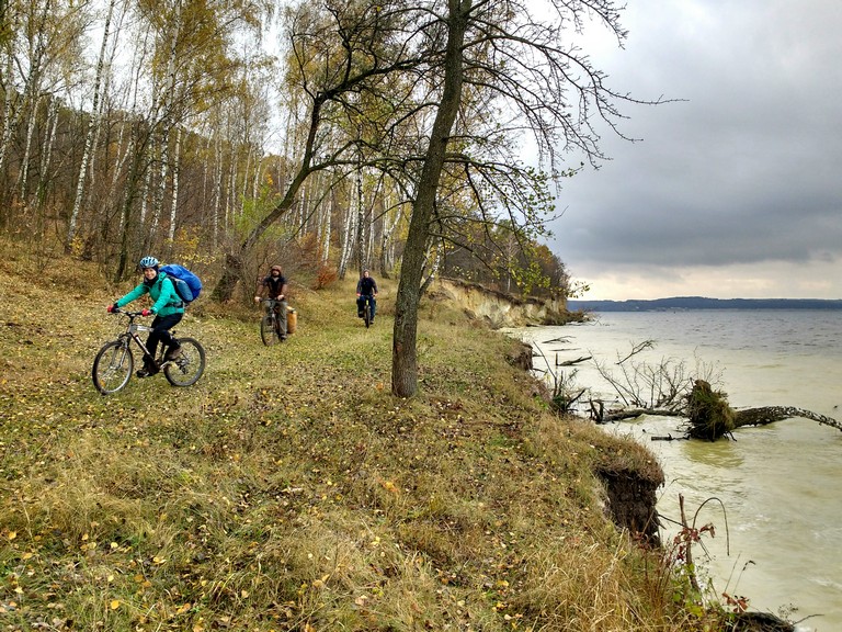
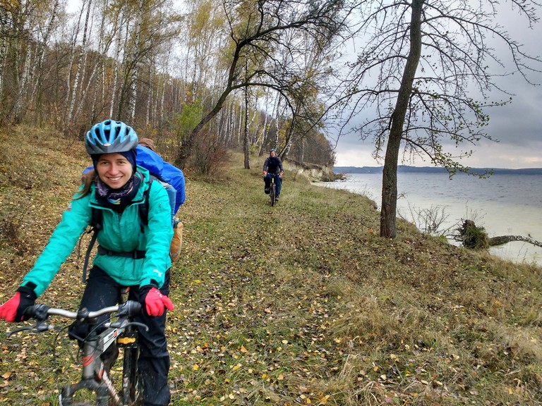
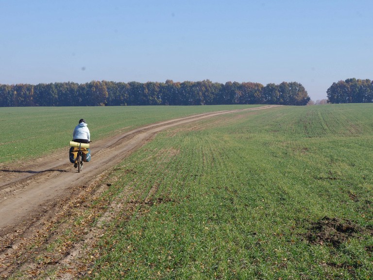
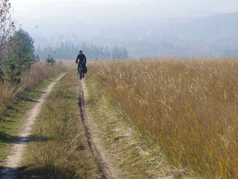
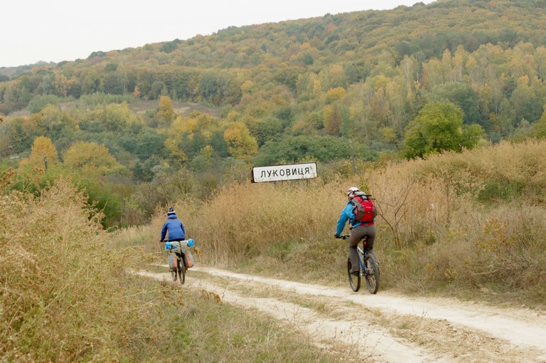
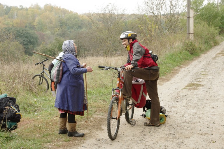
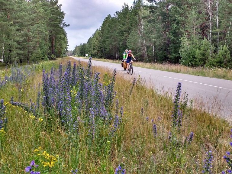
Cycling Routes

Former hunting roads, once inaccessible to the public, are now closed to motor vehicles. However, they have become a favorite among cyclists due to their smooth asphalt surfaces and scenic landscapes. This transformation has made the park an attractive destination for ecotourism and outdoor recreation.

осінь в національному парку
велодоріжки парку
велодоріжки парку

Chornobyl

  Chornobyl is a city known for one of the largest technological disasters in human history. The 1986 accident at the Chernobyl Nuclear Power Plant changed the fate of this region, turning it into an exclusion zone.

Пам'ятник «Ангел Чорнобиля, що сурмить»
Пам’ятник «Ангел Чорнобиля, що сурмить»
ЧАЕС і саркофаг над 4 енергоблоком

The city of Chernobyl is partially inhabited today, with several stores operating. Scientists, power plant workers, and military personnel guarding the border reside here.

The same cannot be said about the city of Pripyat, which remains completely abandoned.

Прип’ять
місто Прип'ять
місто Прип’ять
центр Прип'яті
центр Прип’яті
Чорнобильська АЕС
Чорнобильська АЕС
річковий порт Прип'яті
річковий порт Прип’яті

Today, Chernobyl attracts researchers, tourists, and photographers. Abandoned towns and villages, overgrown forests, and wildlife thriving without human interference create a unique atmosphere. Deer, moose, and roe deer are commonly seen here, wolves howl at night, and even bears have been captured on camera traps.

Болота і луки радіаційного заповідника

Duga Radar

The over-the-horizon radar system “Duga-2” was part of the Soviet Union’s missile defense network. It was designed to detect the launch of ballistic missiles and transmitted a signal that could be picked up by shortwave radio receivers worldwide from July 1976 to December 1989. This signal had a sharp, repetitive knocking sound at a frequency of 10 Hz, earning it the nickname “The Woodpecker” among radio enthusiasts.

об'єкт Дуга
об’єкт Дуга
РЛС
РЛС

It is no longer operational, but it still looks impressive—standing 150 meters tall and stretching 500 meters in length. Surrounding it is a vast forest extending to the horizon.

The Exclusion Zone

Hundreds of villages were forcibly evacuated from the contaminated area. Human life disappeared, leaving behind newspapers, school notebooks from 1986, and remnants of everyday existence. Nature is slowly reclaiming the abandoned buildings and roads.

Старі Шепелиці, закинутий будинок
Старі Шепеличі
Старі Шепеличі
Старі Шепеличі, тут жили люди

Kryliv

Крилів

The city of Kryliv, also known as Novohorihivsk, has a rich history dating back to the early 17th century.

Foundation and Historical Development

In 1615, the Polish administration founded the fortified town of Kryliv at the confluence of the Tiasmin River with the Dnipro. The town held strategic importance, controlling the crossings over both rivers. In the same year, at the request of the Chyhyryn starosta Danilovych, the Polish king granted Kryliv Magdeburg rights, which contributed to its development as an urban center.

During the 17th century, Kryliv witnessed numerous military conflicts among the Cossacks, Poles, and Tatars. In 1625, near the village of Taboryshche, a battle took place between Cossacks led by M. Zhmail and a Polish force, which concluded with the signing of the Kurukiv Agreement. In 1647, Bohdan Khmelnytsky was imprisoned in the Kryliv Fortress.

Kryliv Fortress

It was built at the initiative of Myrhorod Colonel Vasyl Petrovych Kapnist in 1741 on the Polish border, on the right bank of the Tiasmin, not far from its confluence with the Dnipro. The fortification was erected adjacent to the Kryliv sloboda, which was under the control of the Hetmanate government. The sloboda was settled in the 1730s opposite the town of Kryliv, located on the left bank of the Dnipro, and is frequently mentioned in 18th‑century documents as Old Kryliv or Polish Kryliv—the latter having been founded in 1615 by the Korsun starosta, Jan Danilovych.

The Kryliv Fortress was an earthen structure of an irregular quadrilateral shape, with a circumference of about 300 sazhen, featuring four bastions, four demi-bastions, and two gates, and was surrounded by a dry moat and an external palisade. Within the fortress grounds, buildings were constructed for its garrison, including a church, a powder cellar, a supply store (warehouse), and several guardhouses. From the fortification, one could depart in the direction of the Tsybuliv Fortress and the Krukiv redoubt.

Because the fortress was located in the area of the Kryliv-Maksymivka crossing on the Dnipro, it and its garrison served not only as the administrative center of the Kryliv hundred but also as a strategic asset in the fight against the haidamaks, who at that time operated in the region beyond the Dnipro and in the area known as Polish Ukraine. The Kryliv Fortress remained operational even into the 1770s. During the era of Nova Serbia, it served as the center of the 1st company of the pandur (infantry) regiment, and after its dissolution, it became the base for the 1st company of the Yellow Hussar Regiment. In the 1780s, the fortress and the adjacent fortstadt were transformed into the inner city, which is recorded in documents under the name Kryliv. At the turn of the 18th and 19th centuries, the fortification was expanded.

After the Second Partition of the Polish–Lithuanian Commonwealth, Kryliv and Old Kryliv were merged into a single city for a time. In 1795, it became a county center and was given the name Oleksandriia. A year later, the county was abolished, and the city was restored to its historical name—Kryliv. In 1831, the right-bank part of the city was renamed Novohorihivsk, while the left-bank part retained the name Kryliv. Today, the area of the city is submerged under the waters of the Kremenchuk Reservoir.

A plan of the Kryliv Fortress from 1757 was published in the late 19th century by military engineer F. Laskovsky. Based on the discovered drawing, Oleksandr Chornyi created graphic reconstructions of the structure.

Художня реконструкція Крилівської фортеці: Олександр Чорний

Mentions in Songs and Literature

Kryliv is mentioned in Ukrainian folk songs and dumy associated with Cossack themes. In particular, in dumy about Bohdan Khmelnytsky and other Cossack leaders, the city appears as a place of important events. The poet Viktor Sokolov, a native of these lands, described Kryliv in his works, notably mentioning a church in the Ukrainian Baroque style built with funds from Petro Sahaidachny.

The Submergence of the City and the Fate of Its Buildings

In 1960, due to the construction of the Kremenchuk Reservoir on the Dnipro, the city of Novohorihivsk was completely submerged. The population was relocated to the newly built city of Svitlovodsk. Most of the buildings remained underwater; however, some structures were dismantled and moved to other locations. In particular, valuable architectural elements and relics from the churches were preserved and transferred to museums or other churches.

Today, the site of the former Kryliv is occupied by the Kremenchuk Reservoir, while the memory of the city lives on in historical studies, literary works, and the recollections of the descendants of the relocated residents.

Teteriv

Тетерів

The Teteriv River is a river in the Ukrainian Polissya region, flowing through coniferous and mixed forests. It has a vast floodplain that, during spring floods, expands almost to the horizon. In summer, the river can be easily swum across, and in some places, even waded through.

береги Тетерева
береги Тетерева
Тетерів
Тетерів біля Фрузинівки

The route begins in Strakholissya, where the Teteriv River flows into the Dnipro. Nature reserves, impenetrable swamps, and dense forests provide a haven for many animals—moose, deer, roe deer, and other wildlife can often be spotted here. In the Beremytske Nature Park, you can even stay in a glamping site, where you’ll live in a tent right next to them!

Тетерів
Тетерів і його рукави

In summer and autumn, the area is rich in mushrooms and berries, making it a great spot for foraging. Fishing is also excellent here. Spring is a beautiful time to visit, but be sure to bring insect repellent for the mosquitoes!

Serpent shafts

Змієві вали

The Zmiievy Valy, also known as the Serpent Ramparts, are ancient earthen fortifications that stretch across central Ukraine

The Serpent’s Ramparts are well-known from folk tales. According to legend, Kotyhoroshko defeated the Serpent, harnessed it to a giant plow, and carved a massive furrow all the way to the Dnipro River.

In reality, the 950 kilometers of earthen mounds, reaching heights of 8–10 meters, were not built by a single Kotyhoroshko but by many people, starting as early as the 5th century BCE.

Змієві вали

Ходосівське городищеSome of the most impressive ramparts were located south of Kyiv, particularly near the Small and Great Khodosivka fortifications.

The Small Khodosivka settlement dates back to the Early Iron Age (6th–5th centuries BCE) and once served as a fortified settlement for Scythian farmers. The settlement was protected by a massive earthen rampart stretching 10–12 kilometers in length and reaching up to 8 meters in height in some sections. Portions of the rampart still retain visible defensive ditches. During the Kyivan Rus period, this rampart was integrated into the system of the Serpent’s Ramparts, which served as the final line of defense before the capital.

The Great Khodosivka Fortification is one of the three largest archaeological landmarks in Ukraine’s forest-steppe zone, dating back to the Early Iron Age. The main rampart of the site is shaped like a horseshoe, measuring 4.5 by 3.0 kilometers, with a total length of 10–12 kilometers and a height of up to 8 meters in some places. In certain areas, remnants of an ancient defensive ditch can still be seen beneath the rampart, though it has been partially filled with soil over time. The total area enclosed by the rampart covers approximately 1–2 thousand hectares. During the Kyivan Rus period, this rampart became part of the defensive system, serving as the final protective barrier before Kyiv.

A hiking route partially follows the rampart, offering an awe-inspiring view of its scale even today.

Trakhtemyriv Peninsula

трахтемирів
Trakhtemyriv is a hilly area surrounded by the Dnipro River on three sides.

Geology
The Trakhtemyriv Peninsula, located on the right bank of the Dnipro River between Kaniv and Pereiaslav, was formed as a result of tectonic processes and glacial deposits. Its high hills, covered with forests and steppe patches, descend sharply to the water, creating picturesque cliffs. In ancient times, this land was part of a major river route used since the Scythian era. Between the towns of Zarub and Pereiaslav, before the reservoir was created, there was a ford across the Dnipro.

Historical Landmarks and Events
The Trakhtemyriv Peninsula was an important strategic point. In the 16th century, it was home to one of the first Cossack hospitals, established at the Trakhtemyriv Monastery. The peninsula also served as a Cossack capital for a period of time, playing a key role in the development of the Cossack state.

Archaeological Findings
Archaeological discoveries indicate the existence of ancient settlements on the Trakhtemyriv Peninsula. According to archaeologists, the area was inhabited as early as 120,000–130,000 years ago. This is evidenced by a Mousterian-era site. Since then, the region has witnessed the presence of many cultures: Scythian, Zarubyntsi, Cherniakhiv, Kyivan Rus, and modern Ukrainian. Nearby, on the Left Bank of the Dnipro, lie the ramparts of the Karatul fortified settlement.

дерево-тризуб

Nature
The Trakhtemyriv Peninsula is a land of wild forests, meadow clearings, and steep cliffs. It is home to roe deer, wild boars, and badgers, while the skies are often graced by the white-tailed eagle. In spring, the slopes of the peninsula are blanketed with a carpet of early blooms, and in autumn, the dense oak and hornbeam forests erupt in crimson and golden colors.

під горою Батура

дорога вздовж Дніпра
лісостеп
стоянка на Батурі

Марків шпиль

Resettlement of Villages During the Flooding of the Kaniv Reservoir
In the 1970s, during the construction of the Kaniv Hydroelectric Power Plant, many villages on the peninsula faced the threat of flooding. Residents were forcibly resettled, and a number of historic settlements disappeared beneath the waters. Among the villages that were submerged or ceased to exist were Trakhtemyriv, Monastyrok, Zarubantsi, Buchak, and others.

озеро Бучак

Echoes of the Past
Remnants of the past still linger — the ruins of old houses, blooming traces of ancient orchards scattered among wild nature, and Cossack cemeteries hidden in the forest. Scythian settlement ramparts and World War II trenches also remain as silent witnesses to the peninsula’s layered history.

Tourism Potential
Trakhtemyriv is an ideal destination for ecotourism, hiking, and cycling adventures. Its remoteness from urban centers guarantees peace and quiet, while the breathtaking views of the Dnipro create a sense of true seclusion. This is a place for those seeking nature, history, and freedom — all in one of the most mysterious corners of Ukraine.

село Лукавиця, серед Трахтемирівського півострова

For Cyclists
It’s important to note that the terrain in Trakhtemyriv is quite challenging — most of the time, the road either goes uphill or downhill 🙂 This adds an adventurous twist to any ride and makes the area especially appealing for experienced cyclists looking for a scenic yet demanding route.

Pyvyha Mount

Пивиха

Mount Pyvyha is the highest point on the left bank of the Dnipro River, located in Poltava Oblast, near the city of Horishni Plavni. Its height is approximately 168 meters, and it is a unique natural landmark. The mountain was formed as a result of geological processes and is a remnant of an ancient chalk plateau.

гора Пивиха, кемпінг
пляж біля підніжжя Пивихи

Mount Pyvyha holds great historical and cultural significance. During the Kyivan Rus period, it served as a defensive point, and in the 16th–17th centuries, a fortress stood on the site.

Пивиха
хвилі підмивають береги

Today, it is a popular tourist destination, known for its picturesque views of the Kremenchuk Reservoir and the surrounding area. However, the mountain is subject to erosion due to water from the reservoir, which poses an environmental challenge for the region.

This location is perfect for eco-tourism, hiking, and enjoying the beauty of nature.

Пивиха
кручі Пивихи

Vytachiv

витачів

Vytachiv is one of the oldest settlements on the Dnipro River, continuously inhabited since at least the 4th century. Historical chronicles mention a port located on the river trade route “from the Varangians to the Greeks.”

витачів
панорама Дніпра з Витачева
The terrain of the area is highly diverse, featuring one of the highest points of the Dnipro cliffs – Mount Krasukha, standing at 191 meters. Interestingly, it is an artificial mound built on a high cliff, dating back to the 2nd–4th centuries AD. Additionally, around Vytachiv, there are about a dozen more burial mounds from approximately the same period.
Витачів, Святополч і шлях вздовж Дніпра

Mentions of the town of Vytachiv date back to the 10th century as a major port, referenced in the work of Emperor Constantine Porphyrogenitus “De Administrando Imperio.” Vytachiv is also mentioned in the “Tale of Bygone Years” in the year 1100 when Rus’ princes gathered there for a congress convened by Sviatopolk Sviatoslavich and Volodymyr Monomakh. The town began to lose its significance with the development of the neighboring town of Trepol. Vytachiv was destroyed during the Mongol invasion in 1240.

острови на Дніпрі

Витачів взимку
Витачів взимку

In 1991, a chapel was built based on a design by Taras Shevchenko.


каплиця Української Духовної Республіки
каплиця за проектом Тараса Шевченка
Капличка взимку
Капличка взимку

Near the chapel, there is a viewing platform and the Vytach bakery. It’s a perfect spot to enjoy coffee with freshly baked goods.

кава з видом на Дніпро
пекарня Витач
пекарня Витач


South of modern Vytachiv lie the ramparts of the ancient settlement of Sviatopolch, built in 1095 by Kyiv Prince Sviatopolk for the residents of the city of Yuriv, who were fleeing from the nomadic Polovtsians. However, within two centuries, the town was destroyed during another Mongol raid. Today, the ramparts offer a stunning panoramic view of the Dnipro River.

In Vytachiv, you can stay overnight at the Nest of the River Bird.

“Surrounded by ancient oaks and apricot trees, this wild haven greets visitors with a perfect sense of adventure and solitude. The 75 m² home, with its spacious terrace and panoramic windows, faces the sunrise and the mighty Dnipro River. In the morning, you’ll hear the song of the river bird blending with the sound of the water – an ideal place for relaxation, recharging, and finding harmony with nature.”

Facebook
Twitter
YouTube
Instagram