Dzharylhach

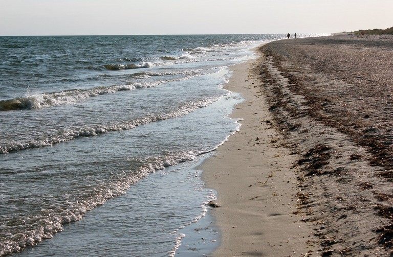
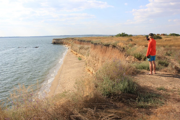
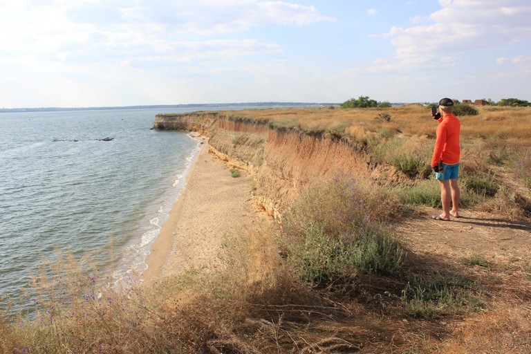
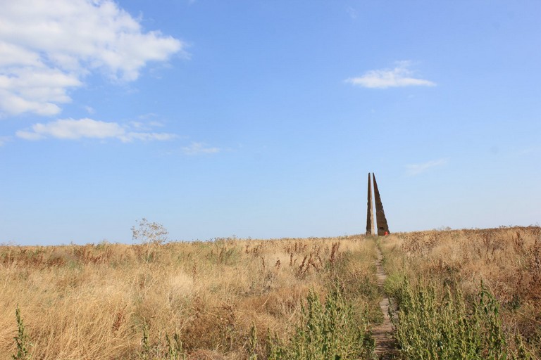
The continuation of Tendry is the island of Dzharylhach.
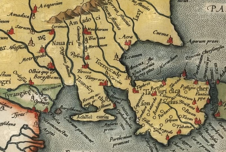
In ancient times, events described in Greek mythology took place here, and the islands were collectively known as Achilles’ Race.
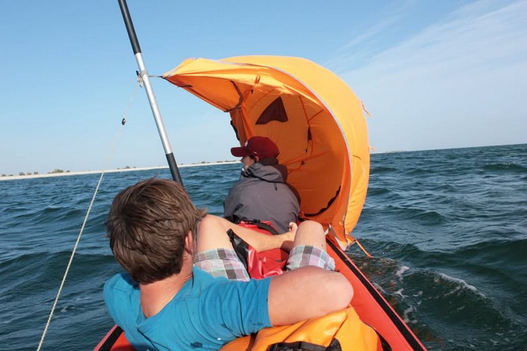
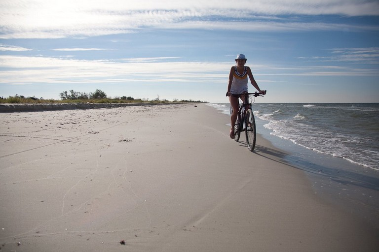
One can set off on a long sea journey from Tendry along the celebrated route of Achilles and Iphigenia, though cycling there is challenging due to the sand.
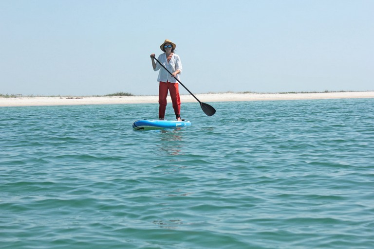
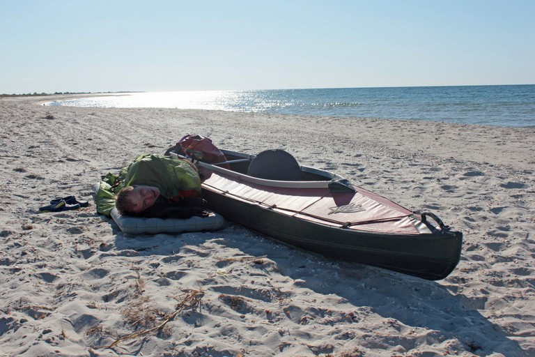
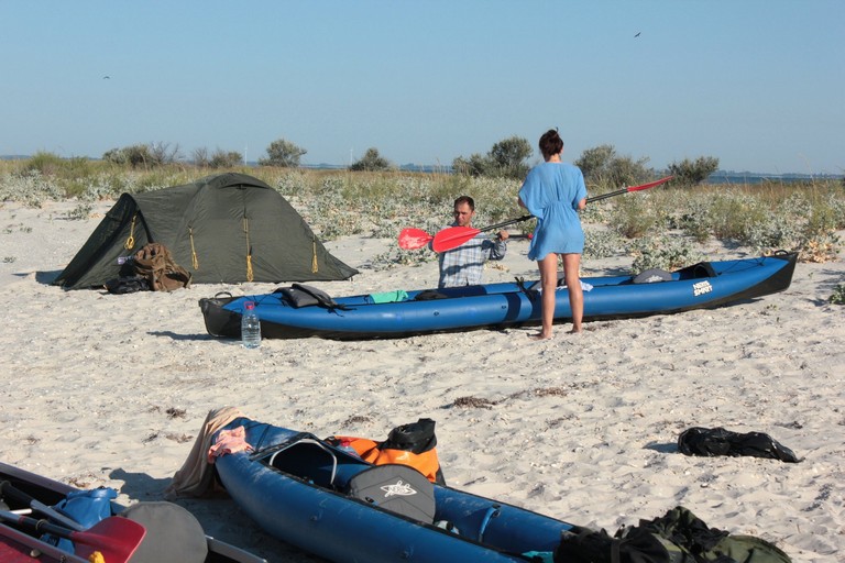
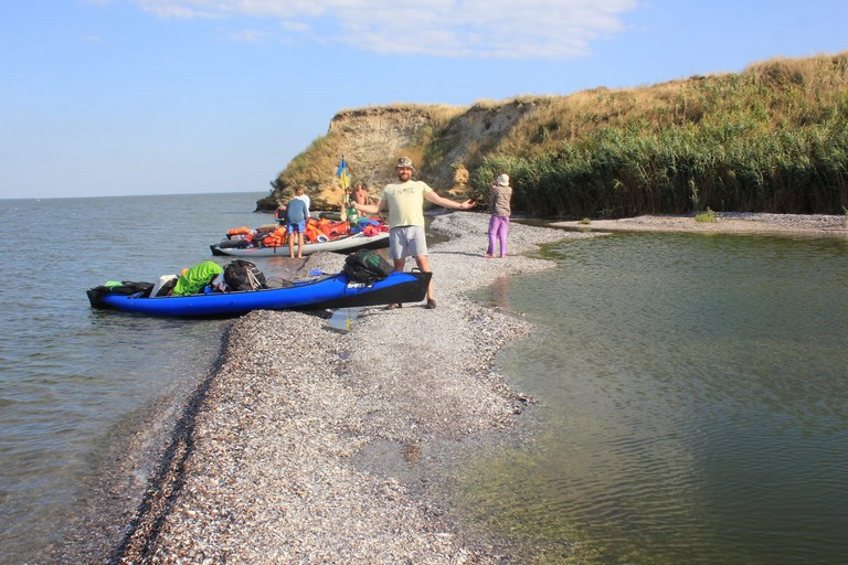
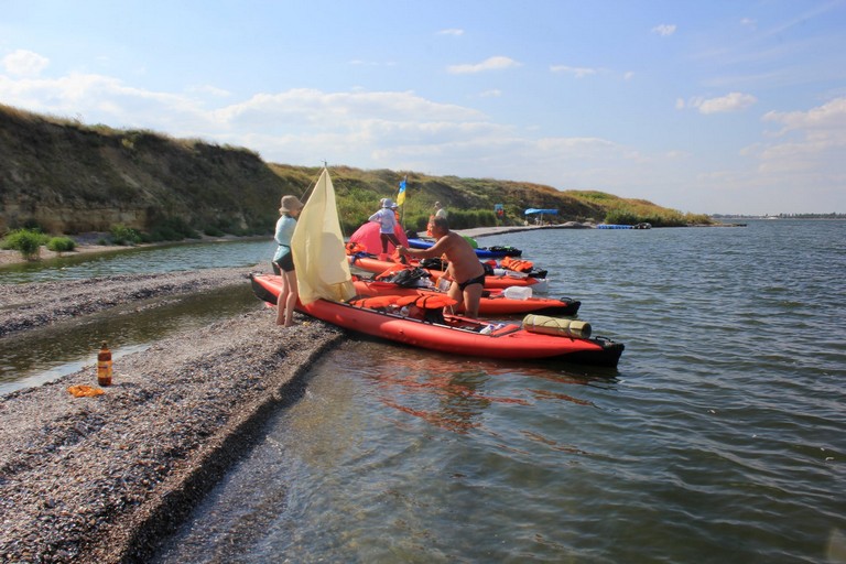
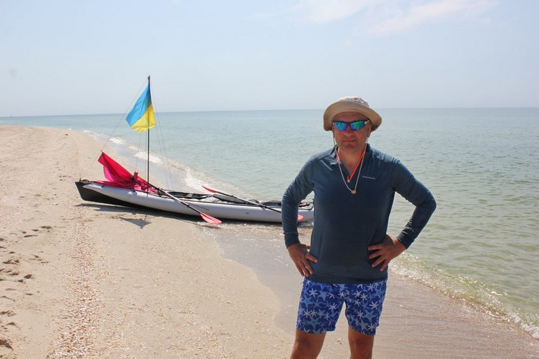
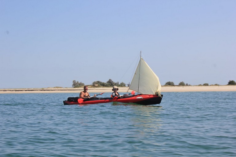
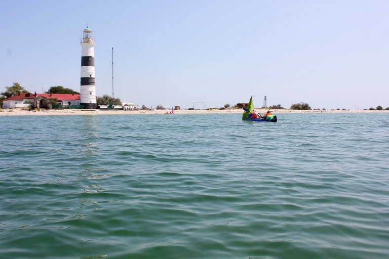
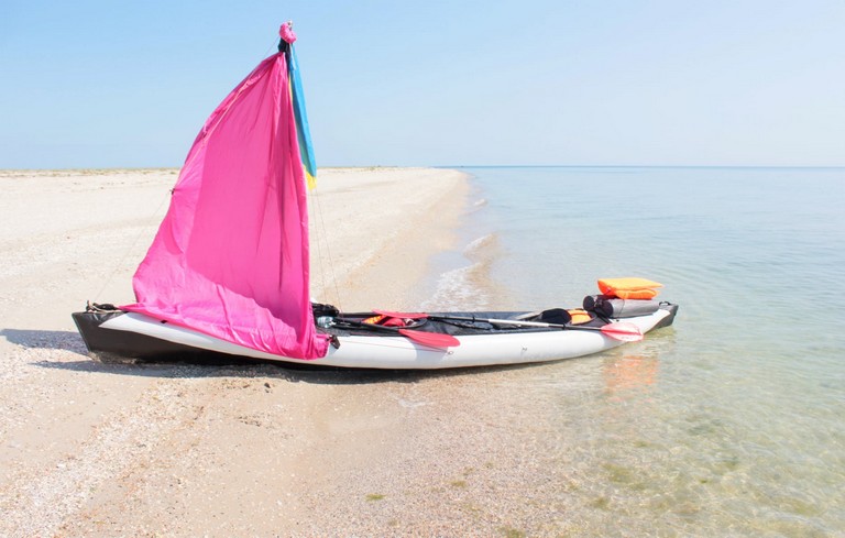
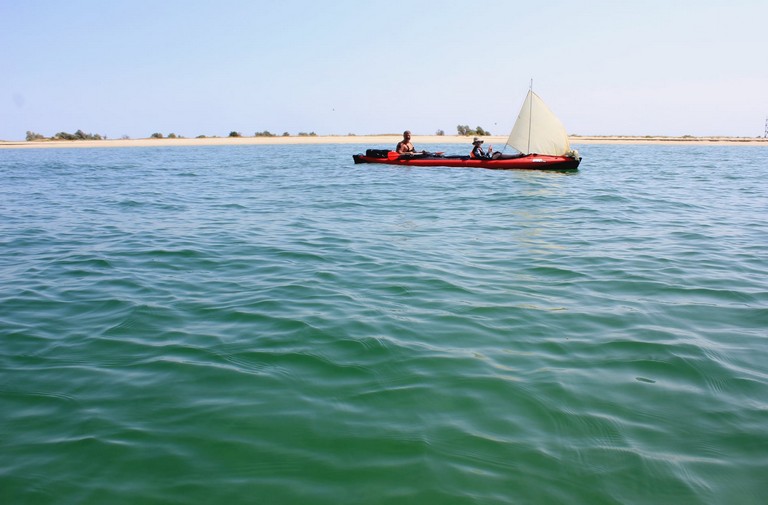
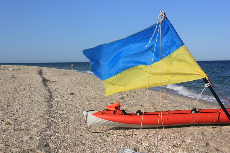
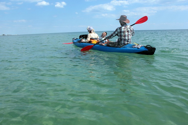
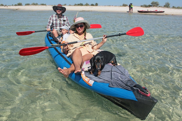
Alternatively, you can reach closer to Dzharylhach from Kinburska Kosa, heading towards Lazurne or Skadovsk, where kayak rentals are available.
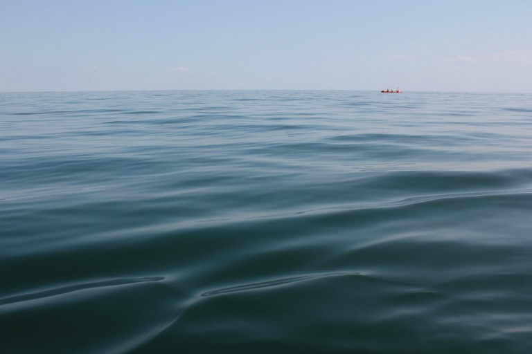
Indeed, a journey by kayak is the best way to uncover the magic of this enchanting corner!
Джарилгач

Achilles’ Race—this is what the ancient Greeks and the inhabitants of Olbia called the Tendrivska Spit, which connects with the island of Dzharylhach by a shoreline, forming something like a peninsula.
Ахілесів біг

In Dionysius Periegetes (2nd century AD), there is a legend in which Achilles, upon meeting Iphigenia, decided to take her as his wife.
However, as a priestess, she had taken a vow never to marry and thus could not accept Achilles’ proposal.
Madly in love, Achilles resolved to take Iphigenia by force. He chased after his beloved, but she preferred to throw herself into the sea rather than betray her patroness.

Artemis came to her devotee’s aid. As Iphigenia leaped into the sea, the goddess began scattering sand in front of her.
Achilles ran for a long time after the swift-footed Iphigenia, but he never caught up with her—his feet sank into the sand, exhaustion overcame him, and he finally abandoned the pursuit.

Thus, according to Greek belief, a sandspit more than a hundred kilometers long formed in the sea, which they named Achilles’ Course or Achilles’ Race.


Dzharylhach: The Pearl of the Black Sea

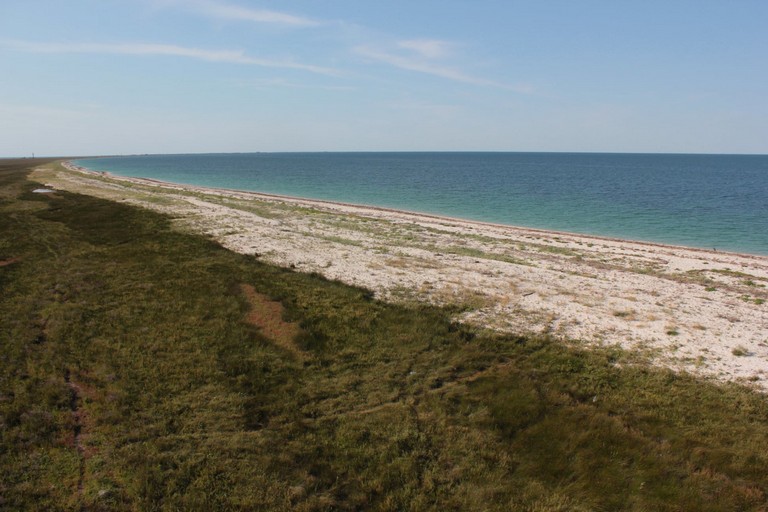
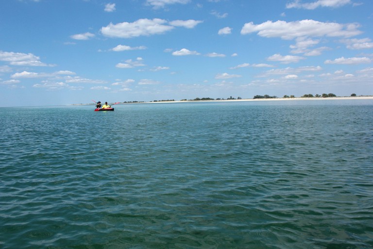
The island of Dzharylhach, located in the Karkinit Bay of the Black Sea, is the largest island in Ukraine and in the entire Black Sea.
It covers an area of 56 square kilometers, with a total length of 42 km, of which the land portion extends for 23 km.
The island has an elongated shape stretching from west to east. On its western side, it transitions into a long sandy spit, separated from the mainland by a narrow strait that sometimes dries up, temporarily turning Dzharylhach into a peninsula.
Relief and Geography

Dzharylhach features a flat terrain with numerous estuarine lakes, numbering around 200. Most of these lakes are saline, while a few are freshwater, with sizes reaching up to 150 meters in length and 15 meters in width. The total water surface area is approximately 9.49 km², making up 17% of the island’s territory.

The water temperature in summer reaches about 23°C, while in winter, it drops to around 2°C and rarely freezes. The salinity level varies between 16-18‰.

Tides in the Black Sea are minimal, with an amplitude of less than 8 cm. However, during storms, waves can wash over the spit, temporarily flooding the island’s coastal areas.
Flora

The vegetation of Dzharylhach includes steppe, meadow, wetland, and salt marsh species, as well as higher aquatic plants. A significant portion of the island is covered with artificially planted trees and shrubs. More than 20 plant species found on the island are listed in the Red Book of Ukraine.

Fauna

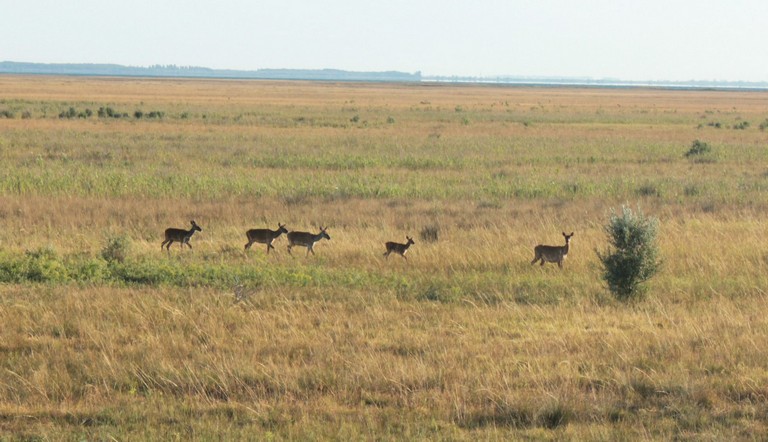
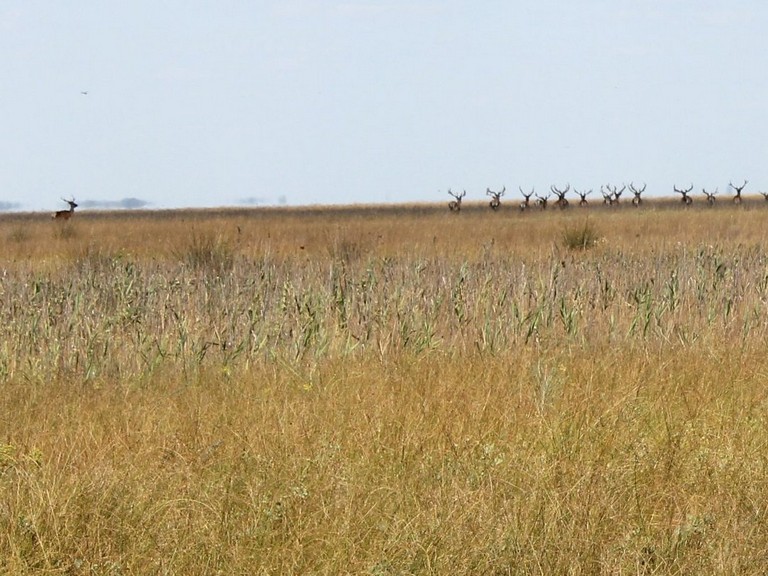
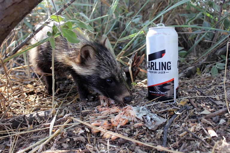
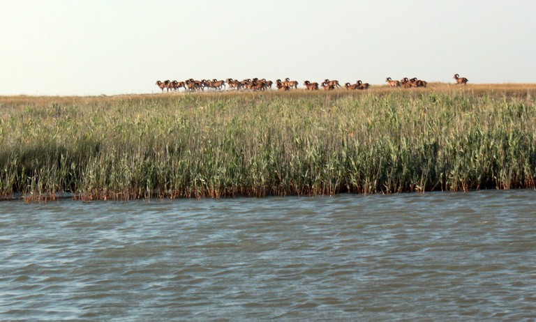
The wildlife of Dzharylhach is remarkably diverse. The island is home to acclimatized species such as the red deer, European fallow deer, and mouflon. Additionally, wild boars, foxes, and hares can be found here.

Migratory birds, including swans, ducks, geese, terns, sandpipers, glossy ibises, herons, and pelicans, use the island as a resting and nesting site.
Marine Life Around Dzharylhach

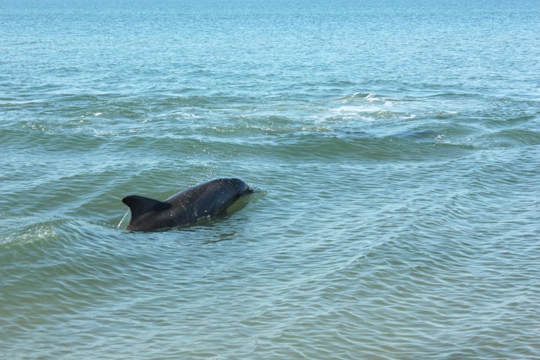
The waters surrounding the island are home to approximately 80 species of fish, including rays, flounder, red mullet, anchovy, Black Sea herring, sprat, and mullet. The local gobies are particularly famous for their excellent taste. Additionally, the area is inhabited by the spiny dogfish (katran), the only species of shark found in the Black Sea.

Shrimp and Other Marine Inhabitants

Dzharylhach Bay is teeming with marine life. The shallow coastal waters are home to over ten species of crabs, including the grass crab, stone crab, marble crab, and swimming crab. Among mollusks, the Black Sea mussel is the most widespread. Shrimp are also abundant in the area.
Insects

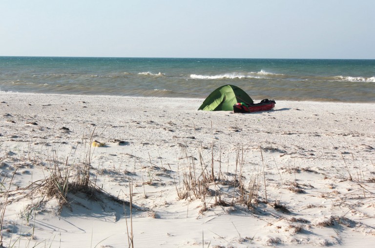
June is the peak season for mosquitoes on Dzharylhach. To ensure a comfortable stay, it’s essential to bring mosquito repellent and a tent with a mesh screen.
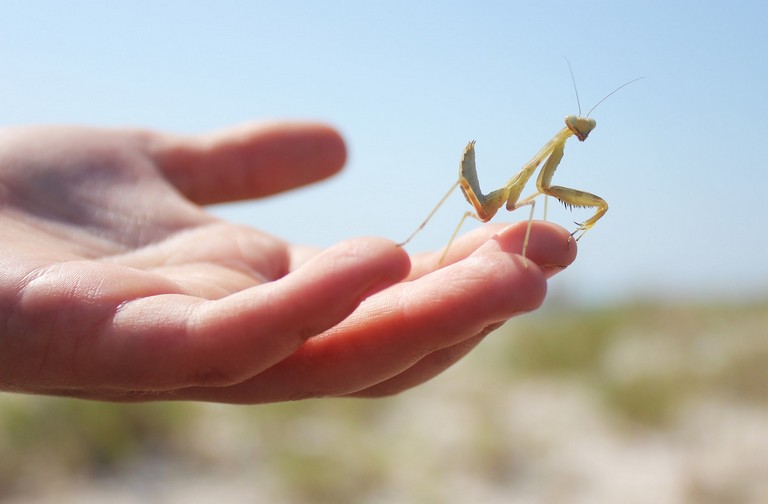
богомол
Dzha Lighthouse

Lighthouse and Freshwater Sources
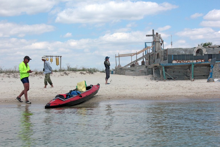
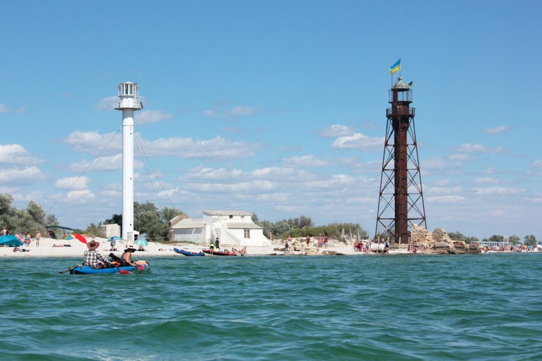
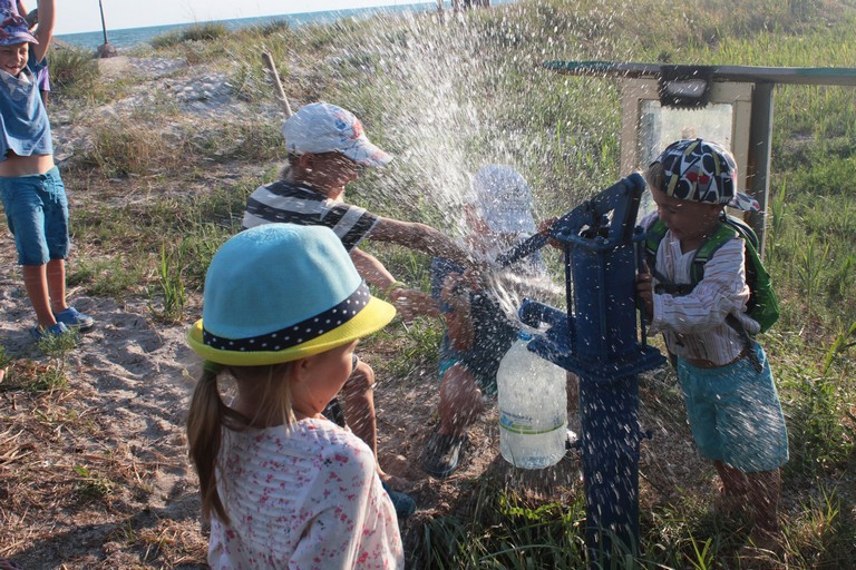
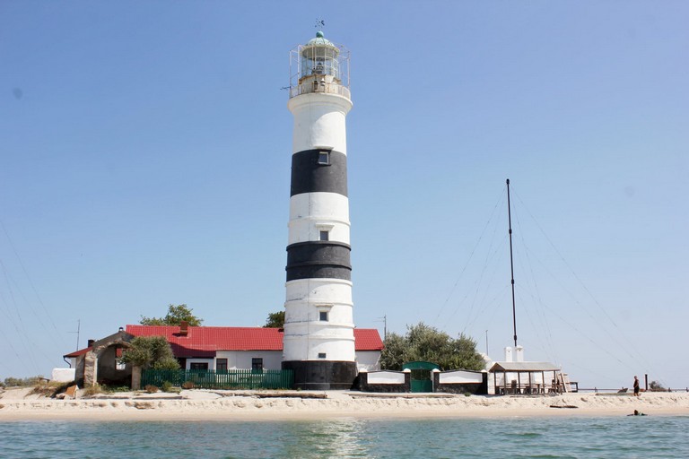
One of the island’s most remarkable landmarks is the old lighthouse, built in 1902. It stands near the shore, and just a few dozen meters away is the new lighthouse, constructed in 1997. The old lighthouse is particularly captivating due to its historical charm and the presence of a freshwater spring—one of only two on the island.

The second freshwater source is located in an area known as “Monakh” (The Monk).

Kitesurfing in Dzharylhach Bay

Dzharylhach Bay, with its shallow waters and favorable wind conditions, is an ideal location for kitesurfing. The combination of warm waters, vast sandy beaches, and the absence of large crowds makes this spot particularly attractive for water sports enthusiasts.

Dzharylhach National Nature Park

Since 2009, the island has been part of the Dzharylhach National Nature Park. The park’s mission is to protect the natural heritage of the area, covering 10,000 hectares of land along with 2,469 hectares of the bay’s waters.

Dzharylhach Island is a truly unique place where nature has preserved its untouched beauty. Its rich flora and fauna, along with its picturesque landscapes, make it a hidden gem of the Black Sea.

Berezan island

Berezan Island is located in the northwestern part of the Black Sea, at the entrance to the Dnipro-Buh estuary, approximately 2 km from the village of Rybakivka in Mykolaiv Oblast and 12.8 km southwest of the city of Ochakiv. This makes it an interesting destination for kayaking, or visitors can opt for a guided tour by boat or sailboat.

The island is about 800 meters, with a width ranging from 200 to 400 meters, and covers an area of approximately 23.6 hectares. Its elevation reaches up to 20 meters above sea level. The island’s shores are subject to abrasion, leading to a gradual reduction in its size. The vegetation is mainly represented by xerophytic grasses and shrubs.

Historical Significance and Archaeological Research

Berezan is known for its rich history dating back to ancient times. In the 7th–6th centuries BCE, the ancient Greek settlement of Borysthenida existed here, considered the oldest Greek polis in the Northern Black Sea region. Archaeological excavations, ongoing for over a century, have uncovered remnants of dwellings, ceramics, and other artifacts that attest to the settlement’s active life. Among the findings are semi-dugouts and multi-room stone houses from the Hellenistic period, painted Ionian pottery, coins minted in Olbia, as well as Roman-period artifacts, including red-glazed ceramics and inscribed slabs.

In the Middle Ages, the island was known as Buyan and is mentioned in various historical sources. During the 14th–15th centuries, the island’s territory was under the control of the Grand Duchy of Lithuania and the Kingdom of Poland, and later, the Crimean Khanate. There was no permanent population on the island during this period.

In 1905, the Berezan Runestone—a Varangian runestone from the 11th century—was discovered on the island. It bears the inscription: “Grani made this mound in memory of Karl, his comrade.” This artifact confirms the presence of Varangians on the island and their interactions with the local population.

Monument to Lieutenant Schmidt

A monument to Lieutenant Pyotr Schmidt, one of the leaders of the 1905 Sevastopol Uprising, stands on the island. As a Tsarist officer, he led a rebellion demanding greater rights. After the uprising was suppressed, he was executed on the island. During the Communist era, Schmidt was turned into a revolutionary icon, and a monument was erected at the site of his execution.

Current State and Preservation

Today, Berezan Island is uninhabited but attracts tourists and researchers with its historical heritage and picturesque landscapes. It is part of the National Historical and Archaeological Reserve “Olbia”, which helps preserve and study its cultural and natural values.

Berezan Island remains a unique site where natural beauty intertwines with a rich, multi-layered history, making it an important object for scientific research and the preservation of Ukraine’s cultural and historical heritage.

Tendra island

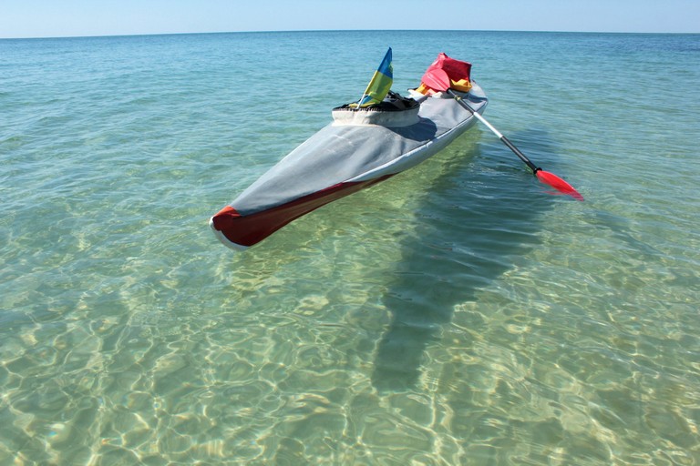
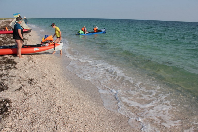
From the finish of the cycling route on Kinburn Spit, on a clear day, a thin strip of land is barely visible on the horizon amid the endless sea. This is Tendra. You can reach the island by kayak in half a day, but to better explore it, it’s best to plan a two-day sea journey.

Tendra Island is a sandy spit that separates the Yagorlytska Bay from the Black Sea. Its formation began around 8-10 thousand years ago as a result of sand deposition by sea currents and wind activity. Geological studies indicate that this area was once part of the mainland, but gradually became separated due to the rising sea levels after the Ice Age.
Historical Mentions
The term “Achilles’ Run” was used by ancient Greeks and the inhabitants of Olbia to refer to the Tendra Spit, which connects with the island of Dzharylgach via the coastline, forming what seems like a peninsula.

In Dionysius Periegetes’ (2nd century AD) writings, there is a legend in which Achilles, upon meeting Iphigenia, decided to take her as his wife. However, the priestess had taken a vow of chastity and could not agree to marry him. Madly in love, Achilles plotted to take Iphigenia by force. He chased after his beloved, who chose to leap into the sea rather than betray her mistress. Artemis helped her favorite, and when Iphigenia jumped into the sea, Artemis began sprinkling sand before her. Achilles chased after the swift Iphigenia for a long time but never caught up with her, as his feet sank into the sand, and he grew tired, eventually abandoning his pursuit. According to the Greeks, this is how the spit, more than a hundred kilometers long, was formed in the sea, which they called Achilles’ Racecourse, or Achilles’ Run.

Ancient Greek artifacts have been found here, confirming the island’s use in ancient times. In the medieval period, Tendra served as a stopover for sailors and Cossack ships.

Nature Reserve

The island is part of the Black Sea Biosphere Reserve and is protected as a territory with unique natural complexes. Its ecosystems include sandy dunes, saline meadows, and steppe areas, creating a special environment for rare plants and animals.

Flora

Tendra Island is home to over 250 plant species, many of which are rare or listed in the Red Book of Ukraine. Notable representatives include:

  • Taliyev’s Sandwort (Arenaria talievii) – an endemic species of the Black Sea region.

  • Buzuk’s Carnation (Dianthus hypanicus) – a rare steppe species.

  • Dnieper Feathergrass (Stipa borysthenica) – adapted to sandy soils.

  • Liechtenstein’s Grasses (Cynodon dactylon var. lichtensteinii) – a salt-tolerant plant capable of withstanding soil salinity.

  • Tatar Sea Kale (Crambe tataria) – a steppe plant found on dune sands.

Fauna

The island is home to many animal species, including those listed in the Red Book of Ukraine.

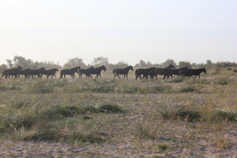
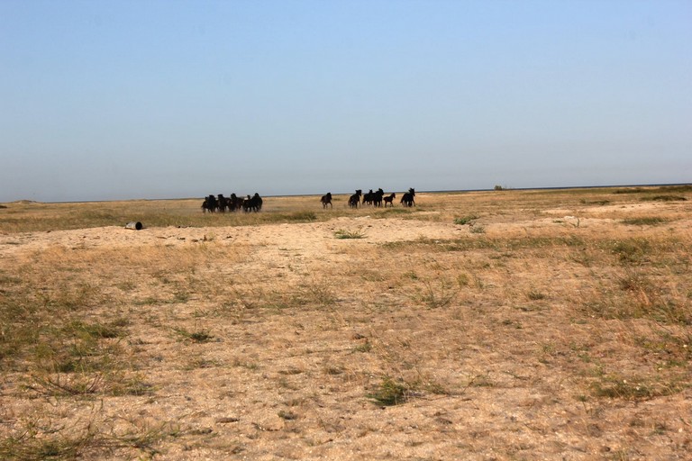
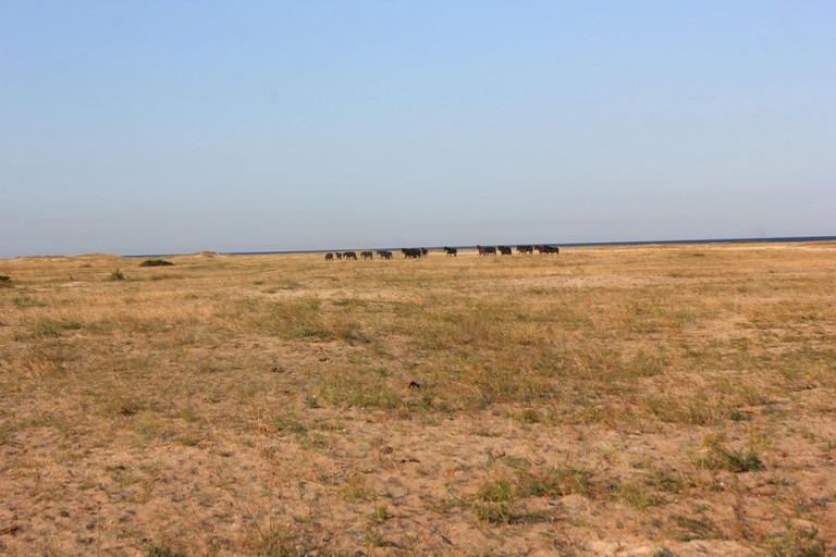
  • Wild Horses (Tarpans) – Semi-wild horses inhabit the island. These are descendants of domestic breeds that were once released into the wild. They are well-adapted to the local climate and feed on steppe grasses.

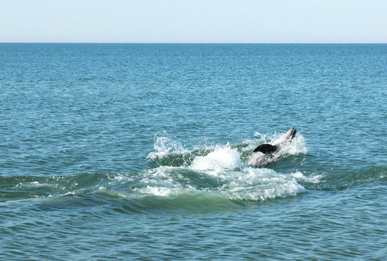
  • Dolphins – In the coastal waters of Tendra Island, three species of dolphins are frequently encountered:

    • Bottlenose Dolphin (Tursiops truncatus)

    • Common Dolphin (Delphinus delphis)

    • Harbour Porpoise (Phocoena phocoena)

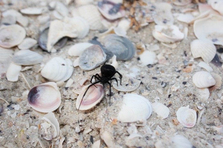
  • Karakurt (Latrodectus tredecimguttatus) – one of the most dangerous spiders in Europe. Its venom is more potent than that of a rattlesnake, although it is usually not fatal to humans.

  • Birds – Among the local inhabitants are the pink pelicans (Pelecanus onocrotalus), white-tailed eagles (Haliaeetus albicilla), waders, and many other waterfowl that nest on the island.
    Insects – Among the rare species are the Swallowtail butterfly (Papilio machaon), Hercules beetle (Dynastes hercules), and carpenter bee (Xylocopa valga).

    Tendra Lighthouse

    Tendra Lighthouse is one of the oldest lighthouses on the Black Sea coast, holding strategic importance for maritime navigation. It was built in 1827 and has remained unchanged since then, preserving its original appearance – a white, round stone tower, 30 meters tall, with two black horizontal stripes.

маяк на Тендрі

Initially, the lighthouse operated with oil lamps, which were later replaced by gas lamps, and now electric lanterns with automatic control are used. Thanks to its light, ships can safely pass by Tendra even at night.

The island has no natural sources of fresh water, except for the well near the lighthouse – don’t forget to collect water!

Relief and Dunes

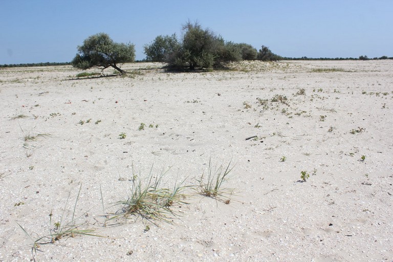
The island has a flat relief, shaped by the influence of sea currents and wind erosion. The surface is primarily composed of sand dunes, with heights reaching up to 5-7 meters. Some dunes are stabilized by vegetation, preventing them from eroding, while others remain mobile, changing shape under the influence of the wind. Along the southern coast, coastal ridges formed by storm waves can be found. In the center of the island, there are low-lying areas – salt marshes, which are periodically flooded by seawater.

типовий пейзаж острова
напівпустеля

Current State

Today, Tendra is a protected area with restricted access. This helps maintain the natural balance and conserve the rare species that inhabit the island. It also remains an important site for scientific research, particularly in the fields of biology and ecology.

Kinburn

Кінбурнська коса — місце, де прісі води Дніпра змішуються з солоним Чорним морем. Фінішна точка велосипедного маршруту, унікальний природний комплекс, що поєднує багатство ландшафтів, рідкісні види флори та фауни, а також має глибоке історичне значення. Розташована між Дніпровсько-Бузьким лиманом і Чорним морем, вона приваблює дослідників, туристів та любителів природи своєю неповторною красою та біорізноманіттям.е

Рельєф та формування
Кінбурнська коса є продовженням Кінбурнського півострова та частково відділяє Чорне море від Дніпро-Бузького лиману. Вона простягається на 45 км у довжину, а її ширина варіюється від кількох метрів у найвужчих місцях до кількох кілометрів. Рельєф коси переважно рівнинний, з піщаними дюнами та кучугурами, місцями залісеними штучними насадженнями сосни кримської та звичайної. Формування коси відбувалося під впливом морських течій, вітрів та накопичення піщаних  відкладень та мушель, що створило цей унікальний ландшафт.

Флора
Рослинний світ Кінбурнської коси надзвичайно багатий і налічує близько 600 видів вищих судинних рослин. Серед них особливу цінність становлять рідкісні та зникаючі види, занесені до Червоної книги України та Європейського червоного списку, такі як волошка короткоголова, ковила дніпровська, береза дніпровська, сон лучний та мачок жовтий. Унікальним є поле диких орхідей площею понад 60 гектарів — одне з найбільших у Європі. На дні прибережних водойм утворюються підводні луки з морської трави (Zostera marina, Zostera noltii), які служать середовищем існування для багатьох видів безхребетних та риб.

Фауна
Тваринний світ коси не менш різноманітний. Тут мешкають олені, здичавілі коні та вовки. Серед рідкісних плазунів можна зустріти гадюку степову та сарматського полоза. У прибережних водах часто спостерігаються дельфіни та скати-хвостоколи. Пташиний світ представлений близько 300 видами, багато з яких занесені до Червоної книги України. Особливо вражають великі скупчення рожевих пеліканів у літній період та орланів-білохвостів узимку. Коса також є місцем найбільшої багатовидової колонії чапель на півдні України.

Історичне значення
Кінбурнська коса має багату історію. Відомо, що перед походами на човнах князя Святослава тут організовувалися стоянки, які використовувалися для підготовки до експедицій. Також на території коси знаходиться заповідник «Білобережжя Святослава», який зберігає важливі природні комплекси та історичні пам’ятки, пов’язані з легендарним князем.

Національний природний парк “Білобережжя Святослава”
У 2009 році територія Кінбурнської коси була включена до складу національного природного парку «Білобережжя Святослава». Парк охоплює понад 35 тисяч гектарів, включаючи 25 кілометрів білосніжних пляжів, унікальні природні комплекси та багатий тваринний світ. Його створення спрямоване на збереження та відновлення природних екосистем, а також на розвиток екологічного туризму в регіоні.

Змішання прісної та солоної води
На краю Кінбурнської коси відбувається унікальне природне явище — змішання прісних вод Дніпровсько-Бузького лиману з солоними водами Чорного моря. Це створює особливі умови для існування різноманітних біоценозів та сприяє високій продуктивності екосистеми. Чітка межа між прісною та солоною водою часто помітна неозброєним оком, що додає краю коси особливого колориту.

Висновок
Кінбурнська коса — це справжня перлина українського узбережжя, де гармонійно поєднуються унікальні природні ландшафти, багатство флори та фауни, а також глибока історична спадщина. Вона заслуговує на особливу увагу як об’єкт природоохоронного значення та місце для екологічного туризму, що дозволяє насолодитися незайманою природою та відчути дух історії.

Tiahyn Fortress

Тягинка

The Tiahyn Fortress is a unique historical landmark located in the village of Tiahynka, Beryslav district, Kherson region. It was built in the late 14th – early 15th century at the initiative of Grand Duke Vytautas of Lithuania. This site played a key role in medieval trade and military conflicts in southern Ukraine.

Тягинка
Тягинська фортеця

Geographical Location

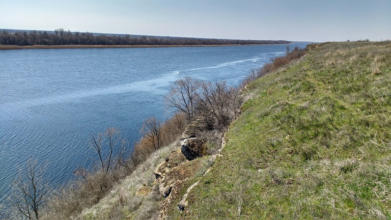
The Tiahyn Fortress was strategically located on the right bank of the Dnipro River, near the confluence of the Tiahynka River. A steep promontory, surrounded by water on three sides, provided natural protection.

Дніпро біля Тягинки
Дніпро біля Тягинки

This location had several important advantages:

  • Control over water routes. The Dnipro River was a major transportation artery connecting the Black Sea region with Kyiv, Lithuania, and Europe. The fortress allowed control over the movement of merchants, military forces, and travelers.
  • Proximity to trade routes. Due to its location near key trade routes, the fortress served not only as a defensive stronghold but also as a significant trading port.
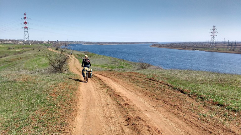
ґрунтовка вздовж Дніпра

Fortress and Historical Events

The Tiahyn Fortress was a key stronghold in the struggle for influence in the region. It frequently changed hands between the Lithuanians, Tatars, Turks, and Cossacks. In 1492, one of the first documented campaigns of the Ukrainian Cossacks took place near Tiahyn, when Prince Bohdan Hlynskyi’s detachment attacked a Tatar ship in the Dnipro estuary.

What’s Interesting for Tourists?

Today, Tiahyn Fortress is a place where visitors can not only see the remnants of ancient walls and towers but also experience the atmosphere of medieval Ukraine. Tourists can enjoy scenic views of the Dnipro River and take a walk along the picturesque banks of the Tiahynka River.

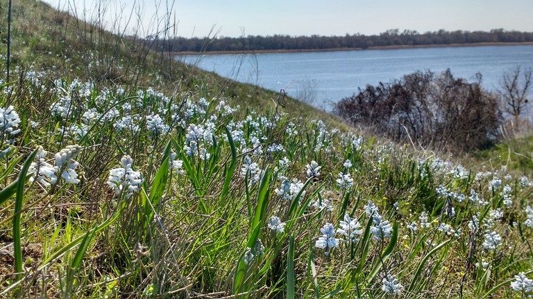
Пушкінія пролісковидна
Пушкінія пролісковидна на Дніпровських кручах

This location is perfect for history tourism enthusiasts, researchers of ancient civilizations, and those seeking new travel routes across Ukraine.

берег Дніпра
берег Дніпра
Facebook
Twitter
YouTube
Instagram